


6
GPS PN-20 vary by application. For more information, see the mapping application’s Help
system for instructions on sending maps to your Earthmate GPS PN-20.
• Online Map Cutter for Earthmate GPS PN-20—Visit http://data.delorme.com. You must have
an Internet connection to use this website. For instructions on sending maps to your Earthmate
GPS PN-20 with this online application, see the Online Map Cutter for Earthmate GPS PN-20
Help system.
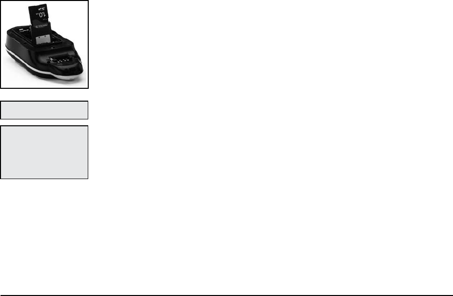
You can transfer many types of data, such as satellite imagery, aerial imagery, USGS Topo Quad
maps, NOAA nautical charts, and more. Save maps in internal memory or on a removable memory
(SD) card in the Maps directory.
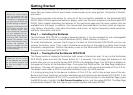
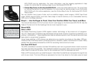
Step 5 — Use the Pages to Track, View Your Position While You Travel, and More
This manual describes all of the functions found in each page on the Earthmate GPS PN-20. See the
Table of Contents to find the headings that are most important to you.
About GPS
What is GPS?
The Global Positioning System (GPS) applies modern technology to the ancient art of navigation.
The U.S. Department of Defense has developed and launched a series of positioning satellites in an
orbiting “constellation.” These satellites are used as reference points much the same way stars have
been used in conventional navigation.
Using these satellites, a GPS receiver can determine your position anywhere on the globe. GPS pro-
vides accurate information about coordinate position, elevation, speed, and direction of travel. Many
people have discovered the benefits of GPS for recording tracks and much more.
How Does GPS Work?
The GPS constellation consists of at least 24 satellites, each carrying several atomic clocks to ensure
the most accurate time possible. The satellites broadcast low-power radio waves containing the sat-
ellite’s identity code and the exact time (to the nanosecond) that the message was sent.
When a GPS receiver picks up a satellite signal, it identifies the satellite and compares the signal time
with its own clock. The time difference represents the time it has taken for that radio wave to travel
Note: Large maps may take
longertotransfertothedevice.
Tip:Whileitisfastertoaccess
mapsthathavebeensavedto
internalmemory,the quickest
waytotransfermapsto your
deviceistocopythemaples
toanSDcardwithanSDcard
reader.