


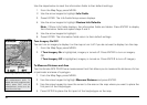
30
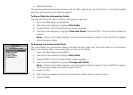
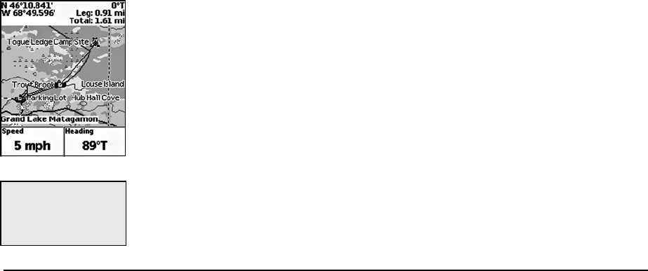
Use the steps below to reset the information fields to their default settings.
1. From the Map Page, press MENU.
2. Use the arrow keypad to highlight Info Fields.
3. Press ENTER. The Info Fields Setup screen displays.
4. Use the arrow keypad to highlight Restore Info Defaults.
Note: If Show Info Fields displays, the information fields are hidden. Press ENTER to display
the information fields and repeat steps 2 and 3.
5. Use the arrow keypad to highlight.
6. Press ENTER. The information fields return to their default settings.
Turn Imagery On/Off
You can turn on imagery to display it on the map or turn it off if you do not want to display it on the map.
1. From the Map Page, press MENU.
2. If Turn Imagery On is highlighted, imagery is turned off. Press ENTER to turn on imagery.
OR
If Turn Imagery Off is highlighted, imagery is turned on. Press ENTER to turn off imagery.
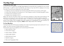
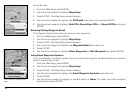
To Measure Distance and Area
Your Earthmate GPS PN-20 has a measurement tool that allows you to measure the distance of a line
or perimeter and area of a polygon.
1. From the Map Page, press MENU.
2. Use the arrow keypad to highlight Measure Distance and press ENTER.
3. Use the arrow keypad to move the cursor to the area on the map where you want to place the
first point of the line/polygon.
4. Press ENTER to place the first point of the line/polygon on the map.
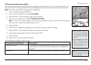
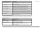
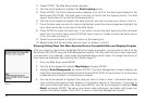
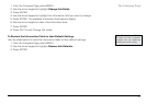
Tip: PressQUITtodeletethe
last measurement point. To
deletetheentiremeasurement
object, press QUIT until all
measurement points are de-
letedfromthemap.
Measuringdistanceonthemap