


23
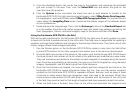
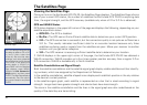
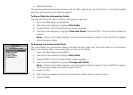
The Map Page
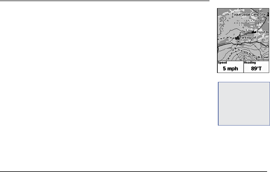
Viewing the Map Page
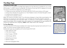
If a 2-D or 3-D fix is obtained, the Map Page displays the map data that is available for your current
GPS location. If a GPS fix cannot be obtained, the location of your last GPS fix displays on the map.
The color of the GPS arrow depends on your GPS signal.
• AashingredarrowindicatesthattheEarthmateGPSPN-20cannotobtainaGPSsignal.
• AbluearrowindicatesthatthedeviceisinTrackPlaybackmodeorSimulateNavigationmode.
• Ayellowarrowindicatesa2-Dx.
• Agreenarrowindicatesa3-Dx.
Below the map are information fields. The information displayed in these fields varies based on the
selections you choose (for more information, see ToChangetheInformationFields on page 25).
The scale is located above the information fields. A north arrow is also available in the upper-right
corner of the screen; this is available only when Heading Up is selected as the map orientation (or
Course Up is selected when navigating). Note: Raster maps rotate in 90° headings.
To View Map Data
The Earthmate GPS PN-20 comes standard with a base map showing high-level world and U.S. cov-
erage. You cannot remove the base map from memory.
Several data types are compatible with the Earthmate GPS PN-20:
• High-resolutionCities
• ColorAerialImagery
• AerialImagery(DOQQ)
• USGSQuads(3DTQ)
• NOAANauticalCharts
• SatelliteImagery
• DeLormeTopographicData
Tip: You can also choose to
hidethe informationeldsto
makethemaparealarger(for
moreinformation,seeToHide
theInformationFieldsonpage
24)orchangethenumberof
informationeldsthatdisplay
(formoreinformation,seeTo
ArrangetheInformationFields
onpage24).
MapPage