


61
iCN
550
User Manual
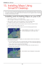
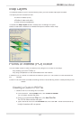
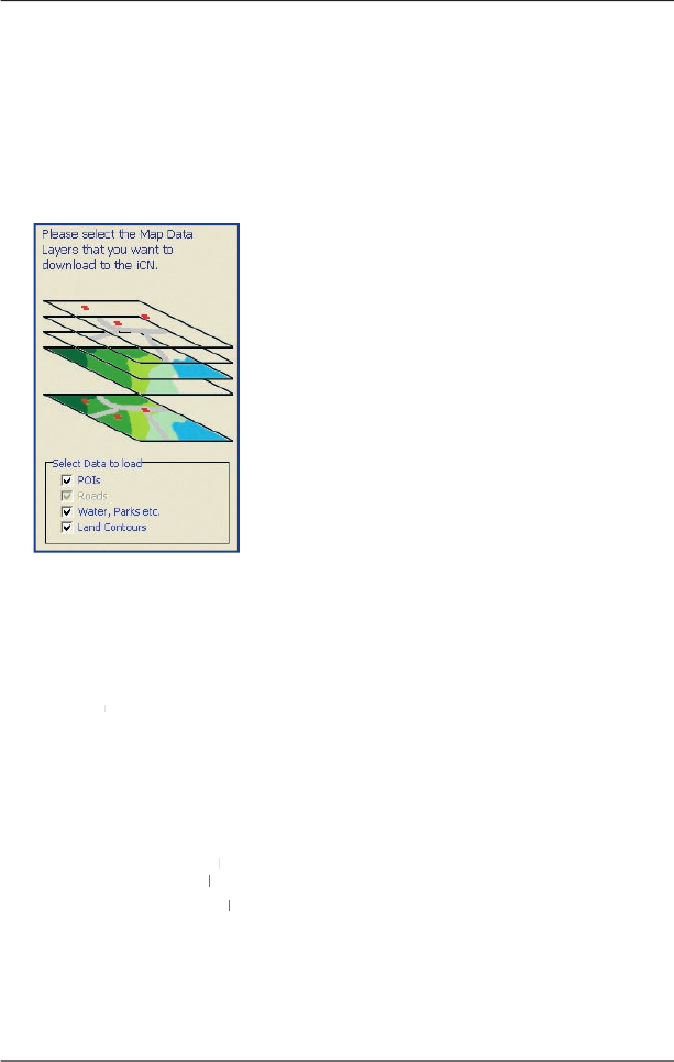
Map Layers
To conserve space on your iCN and memory card, you can choose map layers to install.
The layers you can choose from are:
• Points of Interest (POIs)
• Bodies of water and parks
• Land contours (topography).
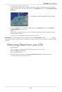
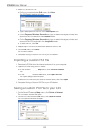
To access the
Map Layers
section:
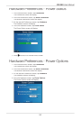
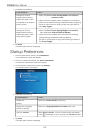
Desktop tab
Settings
Layers
.
Select or clear each checkbox to indicate the layers to install for each map.
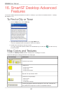
Points of Interest (POI) Editor
You can create custom Points of Interest (POIs) using the POI Editor in two ways:
• by creating your own POI fi les, or
• by using compatible POI fi les downloaded from the Internet.
A maximum of 25 Custom POI fi les can be saved on your iCN. The Custom POI fi les are listed on
the
My POI
screen.
My POI screen. My POI
Custom POIs can be set to enable a warning chime or visual warning when in close proximity at the
Select Active POI
screen.
Select Active POI screen.Select Active POI
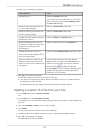
Creating a Custom POI File
1. Create a new POI File using the POI Editor.
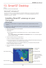
• On the Smart
Desktop
Desktop
Map
menu, click
Points of Interest
.
The
POI Editor
window will open.
POI Editor window will open.POI Editor
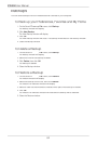
• On the
POI Editor
window
POI Editor window POI Editor
File
menu, click
New Text File
.
The
POI File Name
window will open.
• Type a name for the fi le in the
File Name
box, then click
OK
. The fi le name can be up
to eight characters with no spaces.