


49
iCN
550
User Manual
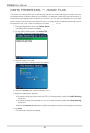
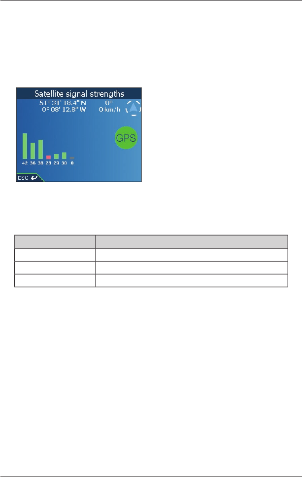
GPS Status
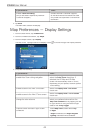
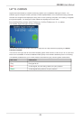
Signals are transmitted by Global Positioning System (GPS) satellites orbiting the Earth. The
Satellite Signal Strengths
screen provides a visual representation of the information being received.
Latitude and longitude are displayed, along with a north-pointing compass, the heading in degrees
and ground speed. The strength of each satellite is displayed on a bar chart.
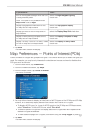
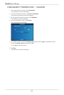
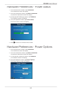
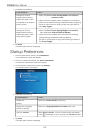
From the
Main Menu
screen, select
Preferences
More Preferences
GPS st
atus
GPS statusGPS st
.
The
Satellite Signal Strengths
screen will display.
You can also access this screen from the
2D Map
and
3D Map
screens by tapping the
North-
oriented compass
.
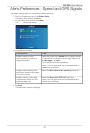
The circle on the right side of the screen displays green when there is a valid fi x (2D or 3D) and red
when no fi x is available. A fi x will be obtained more quickly if the vehicle is stationary than if it is moving.
The satellites available from your current position are shown as grey, red and green colored bars:
Bar Color
Description
Grey
No signal at all.
Red
A valid signal, but not being used to fi x your position.
Green
A valid signal being use
d to fi x your position.