49
Getting Started
49
Reference
Plan Route —
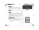
To plan a route, enter a Speed, Fuel Flow, Depart Time and
Depart Date. Fuel Flow is measured in “units per hour” it may be necessary to
consult your vehicles Owner’s Manual for performance specifi cations.
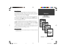
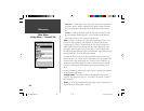
The Active Route Page and Route Page display trip-planning information for
each leg or the entire route. Available information includes Course, ETA,
Fuel to point, Leg Fuel, Leg Time, Sunrise & Sunset at point location, Time
to Point and Leg Distance. To show a specifi c fi eld, with the Active Route
or Route Page displayed, press the ROCKER right or left to cycle through
the fi elds.
Delete Route —
Will remove the selected route from the Routes Page.
Proximity
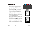
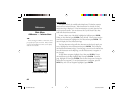
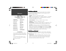
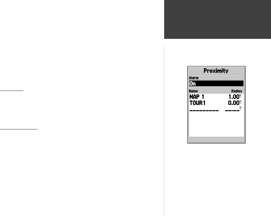
Proximity waypoints can be used to alert you when you are approaching a
predetermined area. When you place a waypoint in the Proximity List, you will
enter a ‘Radius’ that will determine when a Proximity Alarm will be displayed.
You can turn the Proximity Alarm On or Off for your convenience.
Proximity Options
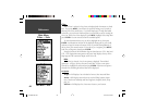
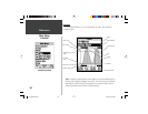
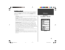
To view the available options with the Proximity Page displayed press MENU.
Add Waypoint —
When ‘Add Waypoint’ is selected, the Points Menu is dis-
played (see page 40 for more information on the Points Menu). Select a point
from the menu to insert it into the Proximity List. With the ‘Radius’ fi eld
highlighted, press ENTER. Enter a radius for an alert to be displayed. You
can also add a waypoint by highlighting the dashed entry line and pressing
ENTER.
Remove Point —
Removes the highlighted waypoint from the Proximity List.
Remove All —
Removes all waypoints from the Proximity List.
Main Menu
Proximity
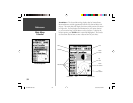
Proximity Page
190-00230-00.indd 03/15/01, 9:26 AM49


