


32
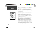
Getting Started
32
Reference
Metro —
Metropolitan areas will appear as a shaded area.
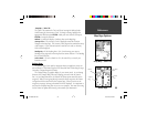
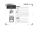
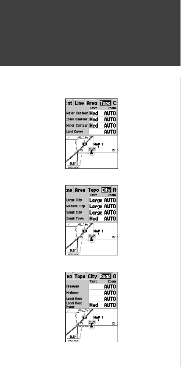
Setup Map — ‘Topo’ Tab
The ‘Topo’ Tab contains the ‘Text’ and ‘Zoom’ settings for Major Contour,
Intermediate Contour, and Minor Contour Lines. The Land Cover option
has a ‘Zoom’ setting. To change a setting, highlight the appropriate fi eld
then press ENTER. Make your new selection, then press ENTER to accept
the selection.
The Contour Line settings are used to de-clutter the map. If ‘Auto’ is the
selected ‘Zoom’ setting, the Major and Minor Contour Lines will be displayed
at a higher Map Zoom Scale setting.
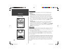
Setup Map — ‘City’ Tab
The ‘City’ Tab contains the ‘Text’ and ‘Zoom’ settings for Large City, Medium
City, Small City and Small Towns. To change a setting, highlight the fi eld then
press ENTER. Make your selection, then press ENTER to accept.
The City settings are used to de-clutter the map. If ‘Auto’ is the selected
‘Zoom’ setting, the Large and Medium cities will be displayed at a higher Map
Zoom Scale setting.
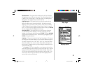
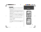
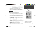
Setup Map — ‘Road’ Tab
The ‘Road’ Tab contains the ‘Text’ and ‘Zoom’ settings for Local Road Names
and ‘Zoom’ settings for Freeway, Highway, and Local Roads. To change a
setting, highlight the appropriate fi eld then press ENTER. Make your new
selection, then press ENTER to accept the selection.
Freeway —
Interstate and U.S. Highways
Highway —
State Highways and Local Highways
Local Roads —
All Other Roads
Local Road Names —
Name Labels for Local Roads
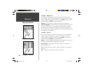
Setup Map — ‘Topo’ Tab
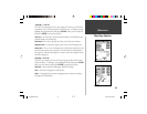
Setup Map — ‘Road’ Tab
Setup Map — ‘City’ Tab
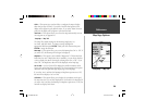
Map Page Options
190-00230-00.indd 03/15/01, 9:25 AM32