


72 GPSMAP 176/176C Owner’s Manual
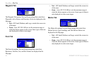
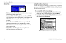
MAIN MENU > SETUP TAB
The following settings are available:
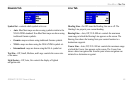
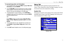
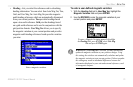
• Location Format—is used to change the coordinate system in
which a given position reading is displayed. You should only
change the position format if you are using a map or chart that
specifies a different position format or wish to use a format you
are familiar with. The default format is latitude and longitude
in degrees, minutes, and thousandths of a minute (hddd°mm.
mmm’). The following additional formats are available:
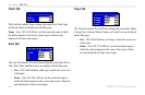
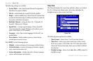
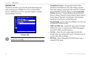
• hddd.ddddd°
• hddd°mm’ss.s”
• UTM/UPS
• British Grid
• Dutch Grid
• Finnish KKJ27
• German Grid
• Irish Grid
• India Zone Grids
• Maidenhead
• MGRS
• New Zealand
• Qatar Grid
• RT 90
• Swedish Grid
• Swiss Grid
• Taiwan Grid
• Loran TD
• User Grid
• W Malayan RSO
For additional information on Loran TD setup, see the Appendix.
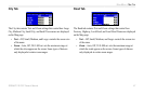
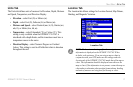
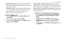
• Map Datum—allows you to manually select the datum
reference used to determine a given position. The default
setting is WGS 84. The unit automatically chooses the best
datum depending upon your chosen position format. Datums
are used to describe geographic positions for surveying,
mapping, and navigation and are not actual maps built in the
unit. Although over 100 datums are available (as listed in the
Appendix), you should only change the datum if you are using
a map or chart that specifies a different datum.
WARNING: Selecting the wrong map datum can result in
substantial position errors. When in doubt, use the default WGS
84 datum for best overall performance.