


GPSMAP 176/176C Owner’s Manual 71
MAIN MENU > SETUP TAB
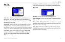
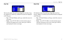
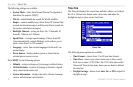
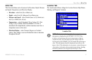
Units Tab
The Units tab defines units of measure for Elevation, Depth, Distance
and Speed, Temperature, and Direction Display.
• Elevation—select Feet (ft) or Meters (m).
• Depth—select Feet (ft), Fathoms (fa) or Meters (m).
• Distance and Speed—select Nautical (nm, kt, ft), Statute (mi,
mh, ft), or Metric (km, kh, m).
• Temperature—select Fahrenheit (°F) or Celsius (°C). This
setting is only available when the GPSMAP 176/176C is
interfaced with a depth finder, and the transducer must have a
temperature sensor in the water.
• Direction Display—select Numeric Degrees or Cardinal
Letters. This setting is used in all fields that relate to direction
throughout the unit.
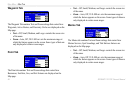
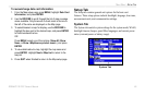
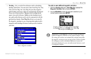
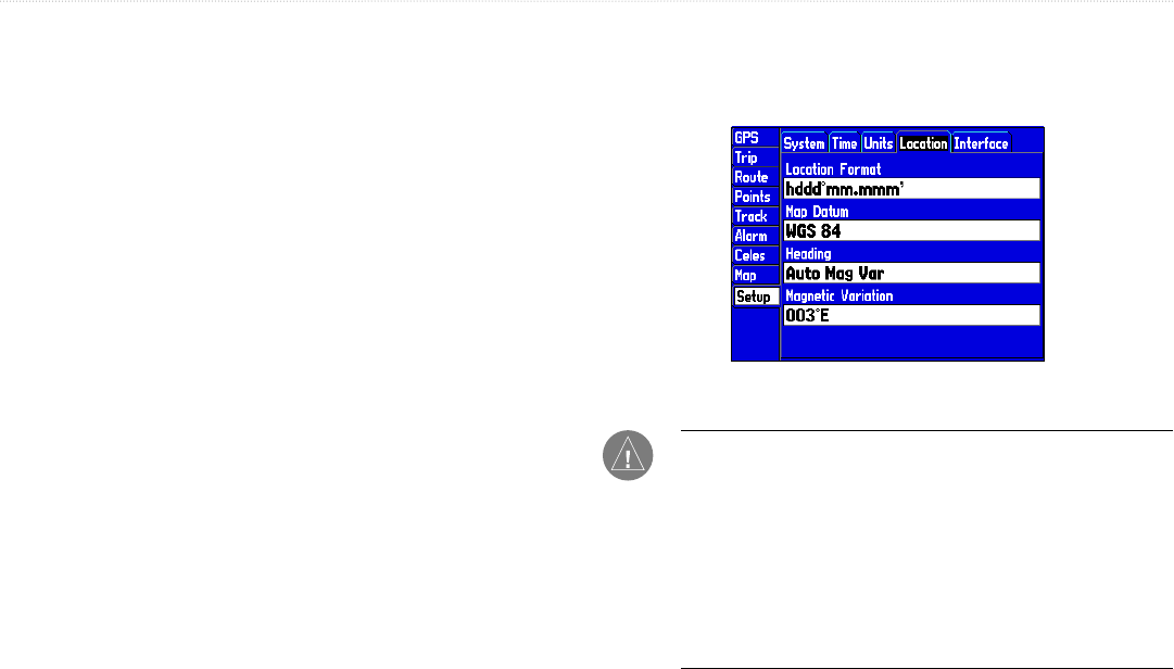
Location Tab
The Location tab defines settings for Location Format, Map Datum,
Heading, and Magnetic Variation.
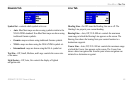
Location Tab
NOTE: The Location tab settings affect how navigation
information is displayed on the GPSMAP 176/176C. When
in doubt, seek assistance. If you are using a map or chart in
conjunction with your GPS, make sure the settings under the
Location tab of the GPSMAP 176/176C match that of the map or
chart. This information should be displayed somewhere on the
map or chart. If the information is not present, contact the map or
chart maker to determine what position format, datum, heading,
and units of measure are being used for the map or chart.