


66 GPSMAP 176/176C Owner’s Manual
MAIN MENU > MAP TAB
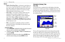
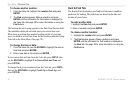
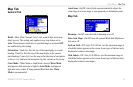
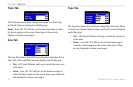
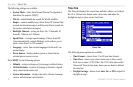
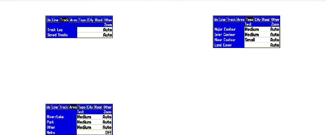
Track Tab
The Track tab contains Zoom settings that control how Track Logs
and Saved Tracks are displayed on the Map page.
Zoom—Auto, Off, 20 ft–800 mi: sets the maximum range at which
the feature appears on the screen. Some types of data are only
displayed at certain zoom ranges.
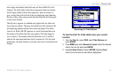
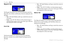
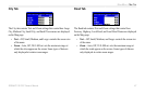
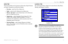
Area Tab
The Area Tab contains Text and Zoom setting that control how River/
Lake, Park, Other, and Metro areas are displayed on the Map page.
• Text—Off, Small, Medium, and Large: controls the screen size
of the name.
• Zoom—Auto, Off, 20 ft–800 mi: sets the maximum range at
which the feature appears on the screen. Some types of data are
only displayed at certain zoom ranges.
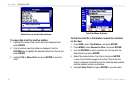
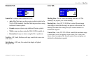
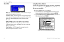
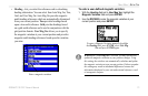
Topo Tab
The Topo tab contains Text and Zoom settings that control how Major
Contour, Inter Contour, Minor Contour, and Land Cover are displayed
on the Map page.
• Text—Off, Small, Medium, and Large: controls the screen size
of the name.
• Zoom—Auto, Off, 20 ft–800 mi: sets the maximum range at
which the contours appear on the screen. Some types of data
are only displayed at certain zoom ranges.