


GPSMAP 176/176C Owner’s Manual 65
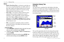
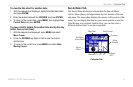
MAIN MENU > MAP TAB
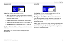
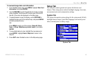
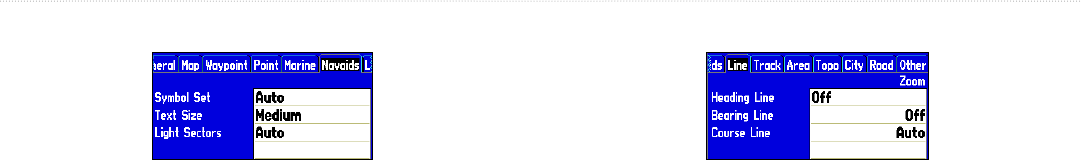
Navaids Tab
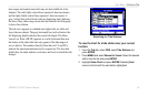
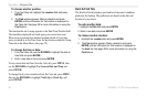
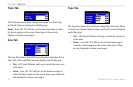
Symbol Set—controls which symbol set to use:
• Auto: BlueChart maps are drawn using symbols similar to the
NOAA/NIMA standard. Non-BlueChart maps are drawn using
traditional Garmin symbols.
• Garmin: maps are drawn using traditional Garmin symbols.
• NOAA: maps are drawn using the NOAA/NIMA symbol set.
• International: maps are drawn using the IALA symbol set.
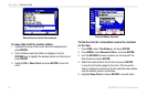
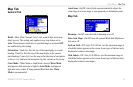
Text Size—Off, Small, Medium, and Large: controls the screen size
of the name.
Light Sectors—Off, Auto, On: controls the display of lighted
navigation aids.
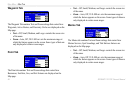
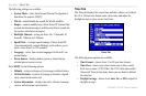
Line Tab
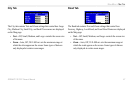
Heading Line—On/Off: turns the Heading Line on or off. The
Heading Line projects your current heading.
Bearing Line—Auto, Off, 20 ft–800 mi: controls the maximum
zoom range at which the Bearing Line appears on the screen. The
Bearing Line shows the bearing from your current location to a
destination waypoint.
Course Line—Auto, Off, 20 ft–800 mi: controls the maximum range
at which the Course Line appears on the screen. The Course Line
shows a direct navigation line from the point where navigation was
initiated to a destination waypoint.