


GPSMAP 176/176C Owner’s Manual 63
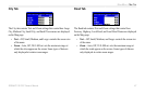
MAIN MENU > MAP TAB
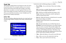
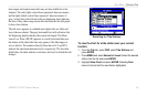
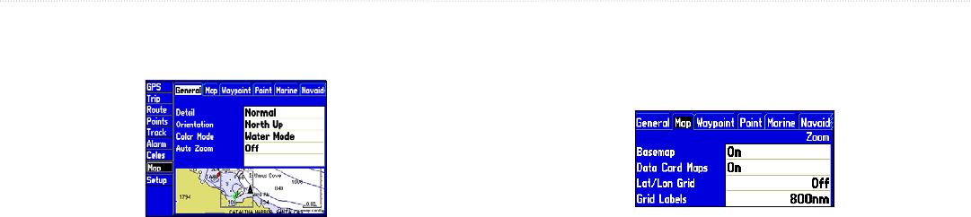
Map Tab
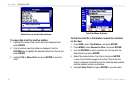
General Tab
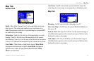
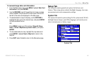
Map Tab of Main Menu
Detail—Most, More, Normal, Less, Least: controls how much map
detail you see. This setting only applies to any map feature set to
Auto. Those features which have a specified range or are turned Off
are unaffected by this setting.
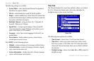
Orientation—North Up: fixes the top of the map display to a north
heading; Track Up: fixes the top of the map display to the current
track heading; Course Up: fixes the map so the direction of navigation
is always “up” and turns the navigation leg line vertical on the screen.
Color Mode—Water Mode or
Land Mode: when in Water Mode,
land appears dark and water is light. In Land Mode, land appears
light and water is dark. If using optional BlueChart data, Water
Mode is recommended.
AutoZoom—On/Off: when On the map automatically adjusts the
zoom range to a lower range as you approach you destination point.
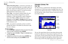
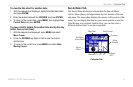
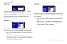
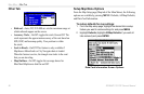
Map Tab
Basemap—On/Off: turns the built-in basemap on or off.
Data Card Maps—On/Off: turns all optional BlueChart/MapSource
data on or off.
Lat/Lon Grid—Off, Auto, 20 ft–800 mi: sets the maximum range at
which the feature appears on the screen. Some types of data are only
displayed at certain zoom ranges.
Grid Labels—Off, Auto, 20 ft–800 mi: sets the maximum range at
which the feature appears on the screen. Some types of data are only
displayed at certain zoom ranges.