


28
To change the Map Datum:
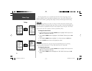
1. From the MENU Page press the UP or DOWN Button to highlight ‘UNITS’. Press the OK
Button to display the UNITS Page.
2. Press the UP or DOWN Button to highlight the ‘MAP DATUM’ fi eld and press the OK
Button.
3. Press the UP or DOWN Button to highlight the desired datum and press the OK
Button.
4. Press the PAGE Button to return to the SETUP Page.
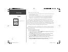
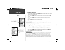
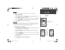
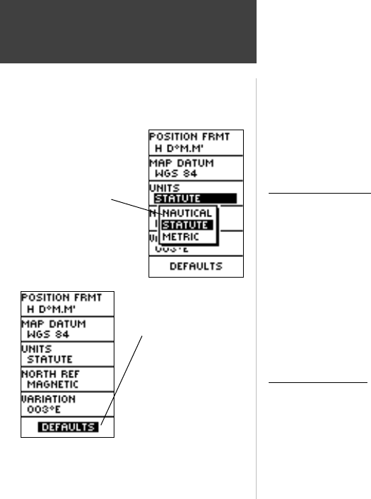
Units of Measure
The Geko 201 allows you to select statute (the default setting), nautical, or metric units
of measure for all speed and distance readouts.
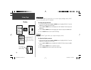
To change the Units of Measure:
1. From the MENU Page press the UP or DOWN Button to highlight the ‘UNITS’ fi eld and
then press the OK Button to display the UNITS Page.
2. Press the UP or DOWN Button to highlight ‘UNITS’ fi eld and press the OK Button.
3. Press the UP or DOWN Button to highlight the specifi c unit and press the OK Button.
4. Press the PAGE Button to return to the SETUP Page.
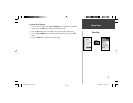
North Reference
‘Reference’ refers to the orientation of a map’s grid. Map makers try to align the vertical
lines on a map with True North. True North is the direction from any location on the
earth’s surface to the ‘north pole’. Maps are typically referenced to True North. Because a
compass points to Magnetic North, not True North, maps indicate the difference between
True and Magnetic North with a measurement called ‘declination’. The amount of declina-
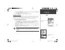
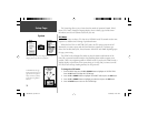
Setup Page
You can select statute, nautical,
or metric units of measurement
from the UNITS Page.
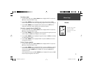
The ‘DEFAULTS’ setting
resets the Geko 201
units to all of its factory
settings.
Units
190-00297-01_0C.indd 28 10/2/2003, 1:41:19 PM