


27
Using the Geko 201 with a paper map increases the navigation capabilities of each. To
use a map in conjunction with the Geko 201, you must select the position format, map
datum, map units, and north reference to match the map. The Geko 201 supports both the
UTM/UPS and latitude/longitude grids, which defi ne position location for the entire globe.
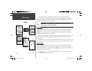
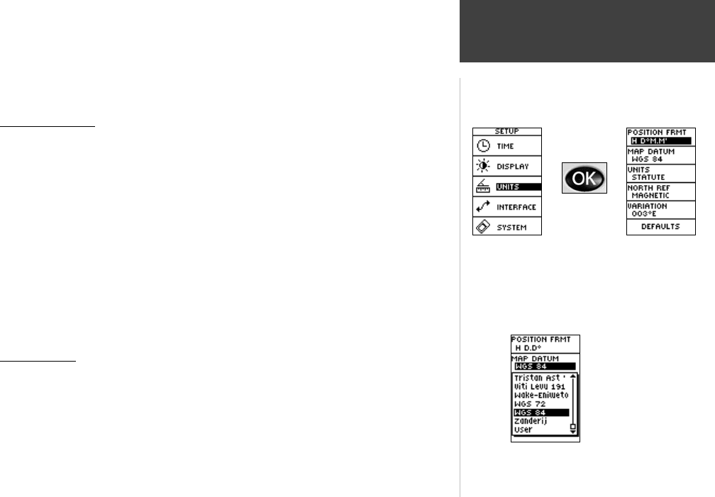
Position Format
The default position format (and the one most commonly used) for the Geko 201 is
latitude and longitude in degrees and minutes (hdddº mm.mmm’). Choose from 11 other
position formats or choose the ‘User’ position format to approximate custom-designed
grids. For more information on map datum and grids we recommend you visit the National
Imagery and Mapping Agency at http://www.nima.mil.
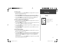
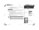
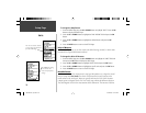
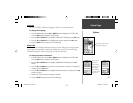
To change the Position Format (grid):
1. From the UNITS Page press the UP or DOWN Button to highlight the ‘POSITION FRMT’
fi eld and press the OK Button.
2. Press the UP or DOWN Button to highlight the desired format and press the OK
Button.
3. Press the PAGE Button to return to the SETUP Page.
Map Datums
A map datum is a reference model of the Earth’s shape. Every map uses a map datum
which is usually listed in the title block of the map. The default datum in the Geko 201 is
WGS 84 (World Geodetic Survey, 1984). You should only change the datum if you are using
maps or charts that specify a different datum. Choose the ‘User’ datum if using a map with
custom-designed grids. Using this setting requires an advanced knowledge of map datums.
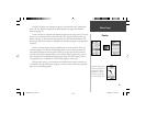
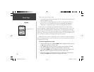
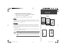
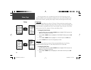
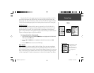
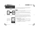
Setup Page
Units
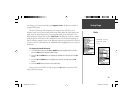
The default datum is WGS
84 although Data Entry
Pages exist for the User
Grid Position Format and
the User Map Datum
Setup.
190-00297-01_0C.indd 27 10/2/2003, 1:41:19 PM