


GPSMAP 60CSx Owner’s Manual 45
MAIn PAges > MAP PAge
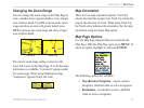
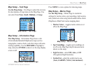
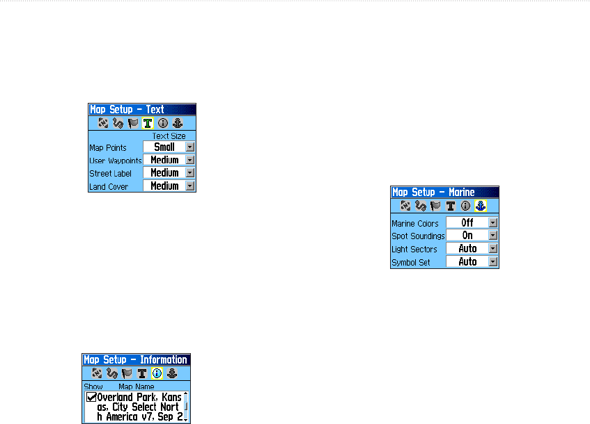
Map Setup – Text Page
Use the Map Setup – Text Page to select the text size
for descriptions of map items on the Map Page. You
can select from None, Small, Medium, or Large.
Map Setup – Text Page
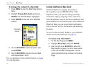
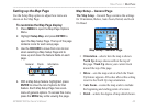
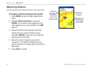
Map Setup – Information Page
The Map Setup – Information Page shows a list
of downloaded detailed MapSource maps such as
topographic, marine charts, and other maps with auto-
routing capability. Use the ROCKER to highlight a
map, and press ENTER to show it on the map display
or turn it off.
Press MENU to view options for showing maps.
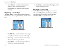
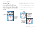
Map Setup – Marine Page
Use the Map Setup – Marine Page to customize
settings for marine colors, spot soundings, light sectors,
and symbol sets when using downloaded marine charts
(MapSource BlueChart marine mapping data).
• Marine Colors—toggles marine colors on or
off on the Map Page.
• Spot Soundings—
toggles spot soundings on
or off on the Map Page (depth measurements
shown on the map).
• Light Sectors—
select Off, Auto, or ON
(Navigational light locations).
• Symbol Set—
select the symbol set to use
(Auto, GARMIN, NOAA, International).
Map Setup – Information Page
Map Setup – Marine Page