


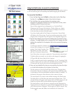
cf Que
™
1620
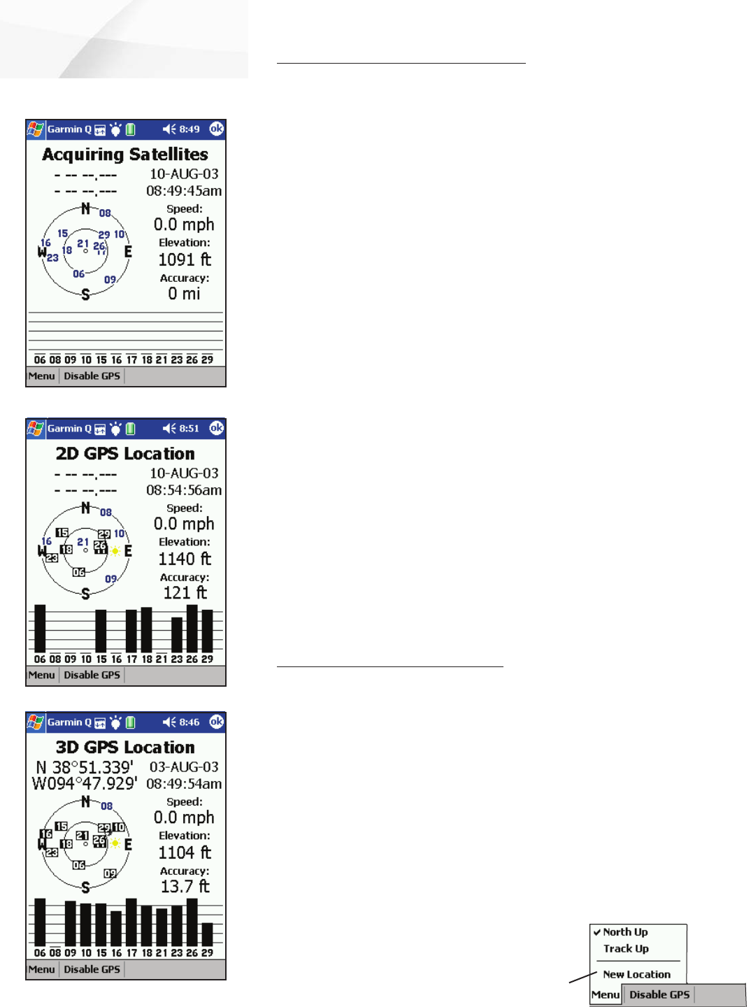
Understanding the GPS Info Page
The GPS Receiver must determine its location on the earth by receiving signals
from overhead satellites each time it is turned on. The GPS Info Page displays the
current status of the GPS receiver.
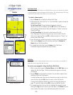
To view the GPS Info Page:
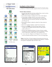
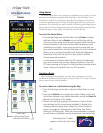
1. Tap Start to display the main menu, tap Programs and then Garmin
Que to display the Map Page.
2. Tap Menu on the menu bar at the bottom of the page and then select
GPS Info to display the Satellite Status Page.
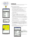
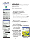
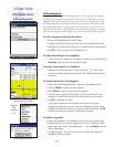
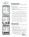
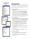
At the top of the Satellite Status Page is a message containing the status of the
GPS receiver and a sky view array on the left side representing the position of
satellites in the sky overhead with your position in the center of the two circles.
The outer circle indicates the horizon while the inner circle a position 45
o
from the
horizon. The numbers displayed indicate the number assigned to those satellites.
A bar graph at the bottom of the page displays the strength of signals being
received from each satellite. An “Acquiring Satellites” message is displayed until at
least three satellites with sufficient signal strength have been received. When the
GPS receiver has determined its location, a “2D” message appears and your location
coordinates display at the top of the left hand column.
On the right, the date and time displays along with your approximate elevation,
and, if you are moving, your current speed displays as well.
When you have sufficient signals from four or more satellites, a “3D GPS Location” mes-
sage appears and the approximate elevation also displays at the bottom of the column.
The accuracy of your current position displays at the bottom of the list. All
of this information continues to update as you navi
gate.
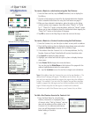
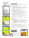
Establishing an initial location
When starting up for the first time, or when you have moved to a new loca-
tion more than 600 miles from the last one, it will take some time for the cf
Que to determine its new location.
To facilitate the initialization process :
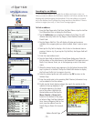
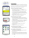
1. Tap Menu tab at the bottom of the page to display the “New Location”
and “North Up” or “Track Up” options.
2. Tap New Location if you want to go to the Map Page and mark your
approximate location to help the satellite narrow its search for satellites.
Using its built-in almanac of satellite positions, the cf Que looks for
signals from only those satellites that are in sight at that location.
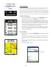
The Options Menu also allows you to orient
the sky view graphic to “North” or to
“Track” in the direction of your movements.
-20-
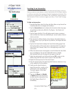
GPS Applications
GPS Info
3 Dimension Position Location
Acquiring Satellites
2 Dimension Position Location
Main Menu Location Option