


GNS 530(A) Pilot’s Guide and Reference
190-00181-00 Rev. H
7-5
SECTION 7
WPT PAGES
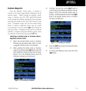
The following descriptions and abbreviations are
used:
• Type - Usage type: Public, Heliport, Military, or
Private
• Position - Latitude/Longitude (degrees/minutes or
degrees/minutes/seconds), MGRS, or UTM/UPS
• Elevation - In feet or meters
• Fuel - For public-use airports, the available fuel
type(s) are: Avgas (80-87/100LL/100-130/Mogas),
Jet, or None
• Approach - Best available approach: ILS, MLS,
LOC, LDA, SDF, GPS, VOR, RNAV (‘RNV’),
LORAN (‘LOR’), NDB, TACAN (‘TCN’),
Helicopter (‘HEL’), or VFR
• Radar - Radar coverage: Yes or No
• Airspace - Control environment: Class B, Class C,
Class D, CTA, TMA, TRSA, or none
NOTE: Upon active navigation changes, the
active destination airport is used as the default
airport on the WPT pages. Manual selection of
the destination airport is available from the page
menu.
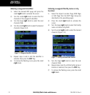
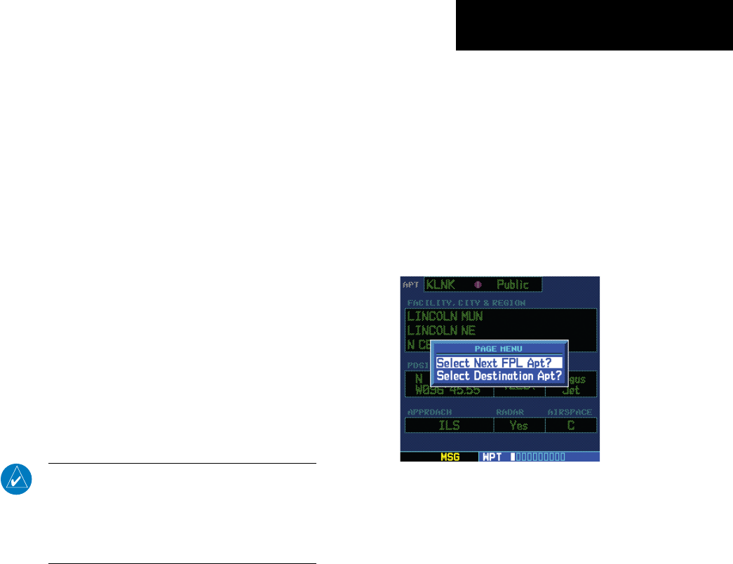
Airport Location Page Options
The following options are available for the Airport
Location Page, by pressing the MENU Key:
• Select Next FPL Apt? - This option is only
available when a Flight Plan is active. Allows the
pilot to view the location information for the next
airport in the active flight plan
• Select Destination Apt? - This option is only
available when a Flight Plan is active. Allows
the pilot to view the location information for the
active flight plan destination airport.
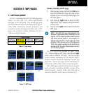
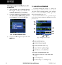
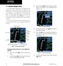
Selecting an Airport Location Page Menu
Option:
1) With a Flight Plan active, select the Airport
Location Page.
2) Press the MENU Key to display the Airport
Location Page Menu.
3) Turn the large right knob to highlight ‘Select
Next FPL Apt?’ or ‘Select Destination Apt?’ and
press the ENT Key (Figure 7-8).
Figure 7-8 Airport Location Page Menu
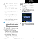
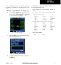
4) The Airport Location Page displays information
regarding the next Flight Plan or Destination
Airport.