


INDEX
Index-2
F
Fish (B/L) alarm 2-10
Fish (normal) alarm
sensitivity 11-10
setting 2-10
Fishing 1, 2 mode 3-8-3-10
Fish school echoes 2-11
Fix mode 11-7
Fuse replacement 13-2
G
Gain adjustment 2-6
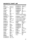
Geodetic chart list A-7
Geodetic datum 11-5
GPS satellite monitor display 3-6
GPS/DGPS/TD options menu 11-5–11-8
Great circle 11-3
Grid 11-2
H
Highway display 3-8
Hue (sounder) 2-9
I
Indications
enlargement of nav data 3-6
sounder display 2-2
Interference rejection 2-7
K
Keyboard test 13-5
L
Lat/lon display resolution 11-3
Lighthouse data 3-5
Local time 11-5
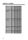
Loran C chains A-4
Loran C station selection 11-8
M
Magnetic bearing 11-3
Magnetic variation 11-4
Maintenance 13-1
Manual sounder operation 2-5–2-6
Mark
color 5-3
number used 5-4
entering 5-1
erasing 5-4
line 5-3
displaying 5-4
shape 5-2
Marker zoom display 2-3
Memory card
formatting 10-1
loading data 10-3
saving data 10-2
Memory clear 13-6
Memory, I/O port test 13-4
MENU key 1-5
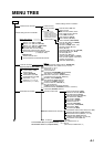
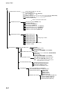
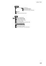
Menu tree A-1–A-3
Mini chart cards
aids to navigation data 3-4
background color 11-2
buoy data 3-4
chart scale 3-3
chart symbol color 11-2
chart symbols 3-4
depth info 11-2
grid 11-2
Indices 3-3, 11-2
inserting 1-2
landmass color 11-2
lighthouse data 3-5
nav aids 11-2
port service icons (NAVIONICS) 3-5
text info 11-2
MOB 6-1
N
Nav data display 3-6
Navigation
cancelling 8-6
multiple quick points 8-1
ports, port service 8-2
quick points 8-1
restarting 8-4
route 8-4
route in reverse order 8-4
single quick point 8-1
specific route leg 8-4
switching route waypoints 8-5
waypoints 8-2