19
••••••••••••••••••••••••••••••••••••••••••••••••••••••••••••••••••••••••••••••••••••••••••••••••••••••
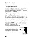
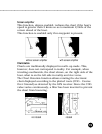
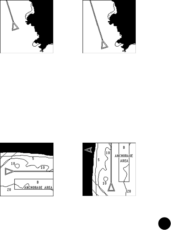
not rotated rotated
Screen amplifier
This function, always enabled, redraws the chart if the boat’s
speed is greater than 3 knots so as to maintain 2/3rds of the
screen ahead of the boat.
This function is enabled only if no waypoint is present.
without screen amplifier with screen amplifier
Chart rotation
Charts are traditionally displayed in north-up mode. This,
however, does not correspond to reality. For example, when
traveling southwards, the chart shows, on the right side of the
boat, what is on the left side in reality and vice versa.
The Chart Rotation function allows rotating the electronic
chart displayed according to the plotted route (COG - Course
Over Ground) as detected by the GPS receiver. Since the COG
value varies continuously, a filter has been inserted to prevent
the chart from bouncing.


