


CHAPTER 8
SATVIS MENU OPERATIONS
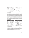
Since all GPS satellites are now deployed, 3D coverage with good geometry
will be available 24 hours a day worldwide. Satellite Visibility offers you a
preview of the satellite constellation visible for a specific location on a given
date, giving you the data necessary to plan your outings at times of maximum
satellite visibility.
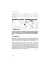
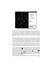
An animated view of the satellites in orbit (over a selected location) can be
viewed, as well as line and bar graphs which detail the best times for satellite
availability.
Remember, for SatVis displays to be accurate, almanac data must be recent
(less than one month old), or updated since any major change in the satellite
constellation. Almanac data is obtained by downloading it from the GPS unit
(see Section 6.2.5).
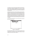
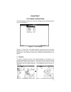
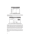
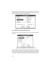
Figure 8-1: SATVIS MENU
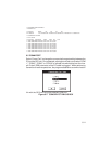
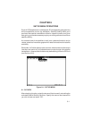
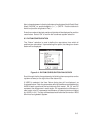
8.1 SKYVIEW
After selecting this option, select the almanac file to be used in calculating the
animated Satellite Visibility SkyView. Specify the name of the almanac file
you wish to load and select “OK”.
8-1