


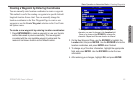
GPSMAP 496 Owner’s Manual 69
Automotive
Automotive Mode Pages and Features > Map Page
Automotive Mode Pages and
Features
This section discusses the major pages in Automotive Mode, such
as the Map Page, as well as some additional features, such as routes
and points.
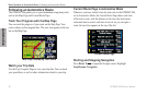
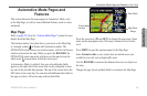
Map Page
Refer to pages 29–36 in the “Aviation Mode Pages” section for more
details about the Map Page.
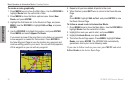
The location marker (icon) that shows your travel on the Map Page
is a triangle symbol in Marine and Automotive modes. The
GPSMAP 496 always turns on in location mode, with the last known
location centered on the map. When you press the ROCKER, the
GPSMAP 496 enters pan mode, which moves the map to keep the
white arrow (map pointer) within the screen area.
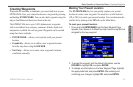
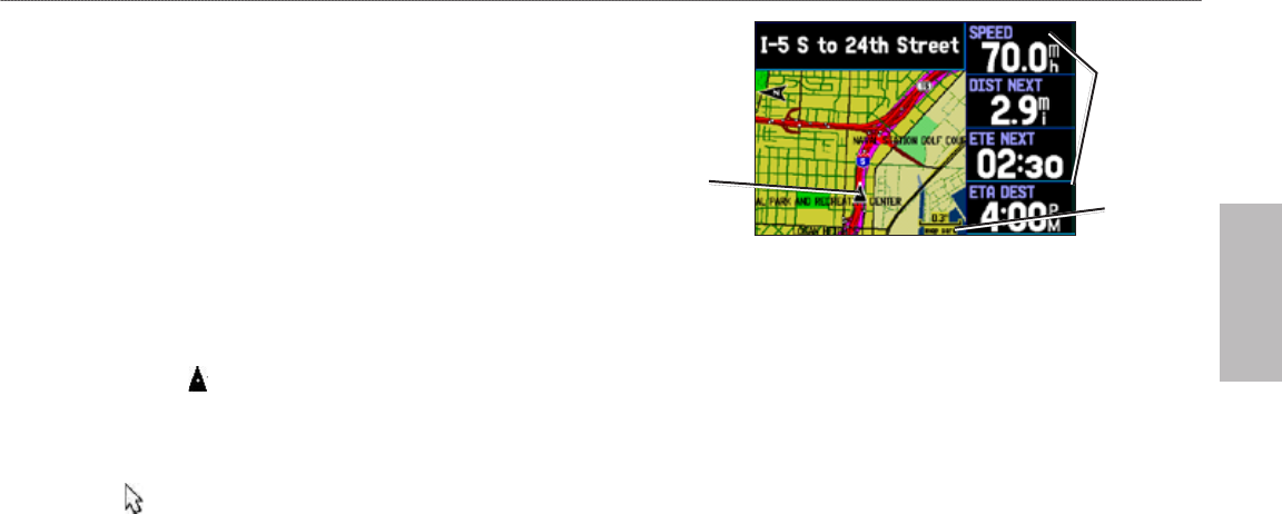
In Automotive Mode, by default, four user-selectable data elds
appear on the right side of the screen that can be congured to show
any one of the possible data options. The top of the screen shows the
GPS status or the route leg. You can also add additional data elds to
the page or select a full screen map without data elds.
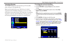
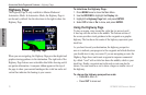
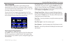
Map Page
Data Fields
Map Zoom
Range
Current
Location
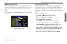
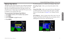
Press the zoom keys (IN and OUT) to change the map range. Some
items on the map appear only if the map is zoomed in to a certain
level.
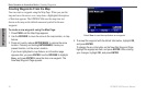
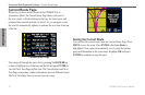
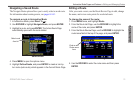
Press MENU to open the options menu for the Map Page.
Enter Custom Avoids so your routes does not include areas you
would like to avoid, such as high trafc areas.
Use the ROCKER to measure the distance between two objects on
the map.
Change the page layout and data elds to customize the Map Page.