


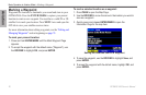
30 GPSMAP 496 Owner’s Manual
Aviation
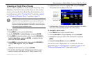
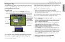
Aviation Mode Pages > Map Page
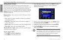
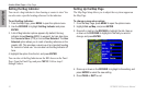
Map Orientation
There are three map orientation options: North Up orients the map
like a paper map, Track Up orients the map in the direction of travel,
and Course Up orients the map in the direction of the destination.
When using Track Up or Course Up, the North arrow indicates the
orientation. To change the map orientation, press PAGE to open the
Map Page. Press MENU. Select Set up Map, and press ENTER.
Refer to page 34 for information.
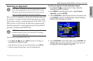
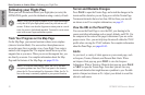
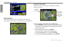
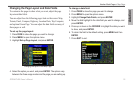
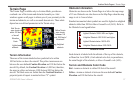
Selecting Map Ranges
The Map Page has 28 available range scales from 20 ft to 800 nm
(20 ft to 800 mi or 5 m to 1200 km). The map range is controlled by
the IN and OUT keys, with the current range shown at the bottom
right of the data window.
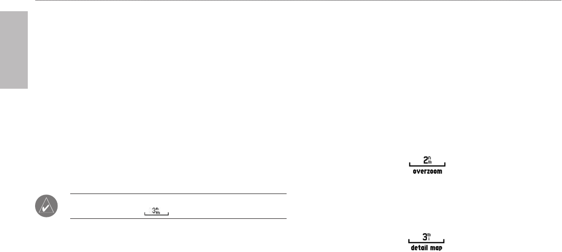
NOTE: The range value represents the distance between the
ends of the range bar ( ).
To select a map zoom range (zoom in and out):
Press the OUT key to zoom out.
Press the IN key to zoom in.
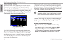
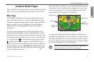
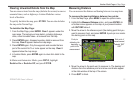
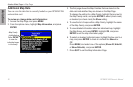
The system has a built-in City Navigator street mapping data.
Detailed marine chart coverage is available through the use of the
BlueChart, or MapSource software.
•
•
Map coverage conforms to the following conditions:
Cartography is shown when the selected zoom range is covered
by either the internal map data or other MapSource data loaded
onto a data card.
When the selected zoom range is covered by both the internal
map data and data card map information, the cartography with
the best resolution is shown.
When the selected zoom range exceeds the resolution of the data
in use, “overzoom” appears below the map range detail of the
built-in City Navigator map data.
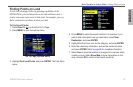
Using the built-in City Navigator maps.
When internal City Navigator map data is used, “detail map”
appears below the map range.
Using the built-in City Navigator maps.
•
•
•
•