


10 GPSMAP 496 Owner’s Manual
Getting Started > Using the GPSMAP 496
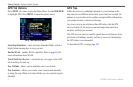
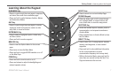
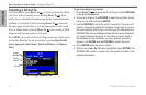
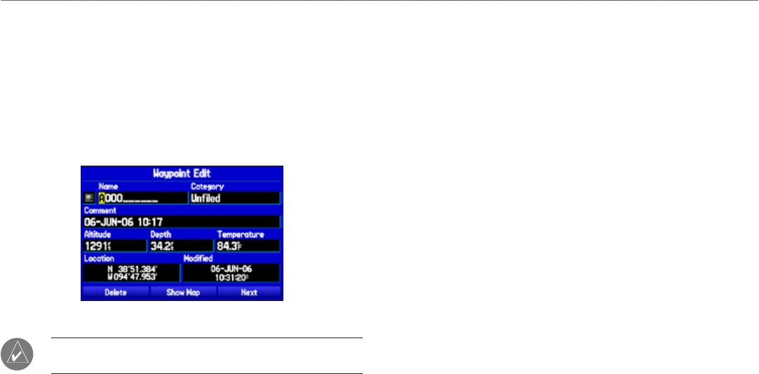
To enter data in a data eld:
1. Use the ROCKER to highlight the data eld you want, and press
ENTER to activate the eld.
2. Press up or down on the ROCKER to select characters. Press
right to move to the next character or press left to move back
to the previous character. If there are two lines of data, keep
pressing right to drop to the next line.
3. After entering the data, press ENTER.
Entering Data
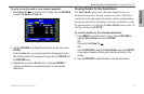
NOTE: To clear the entire data eld, highlight the left-most
character eld and press left once more on the ROCKER.
Not all elds are programmable. When you are on a page with elds
that are not selectable, the highlight skips over them.
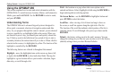
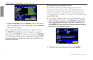
GPSMAP 496 Databases
Your GPSMAP 496 comes with built-in City Navigator street and
points of interest mapping, AOPA Airport Directory, Jeppesen
®
database, Obstacle database, Terrain database, and Voice Guidance
database. You also should update your Jeppesen database to use the
most current data. Refer to page 170 for more information.
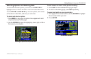
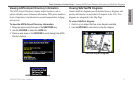
MapSource Detailed Maps
Optional Garmin data cards and MapSource CD-ROMs enhance the
versatility of your GPSMAP 496. With optional BlueChart g2 data,
you can access marine navaids, wrecks, obstructions, and anchorage
locations.
The included USB Interface Cable or an optional PC Interface Cable
(with a serial connector) is used to transfer MapSource CD-ROM
data to the optional data card.
For compatible MapSource products, refer to the Garmin Web site at
www.garmin.com/cartography.