


36 GPSMAP 2106/2110 Owner’s Manual
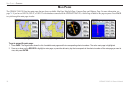
MAIN PAGES > MAP PAGE
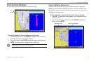
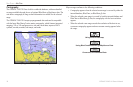
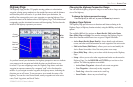
Cartography
The GPSMAP 2106/2110 has a built-in worldwide database, with more detailed
coverage available through the use of optional BlueChart or MapSource data. The
unit shows cartography as long as chart information is available for the selected
range.
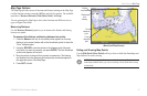
The GPSMAP 2106/2110 accepts preprogrammed data cards and is compatible
with the latest BlueChart g2 series marine cartography, which features integrated
mapping, 2-D or 3-D map perspective, tide and current data, improved IALA
symbols, navaids, marinas, boat ramps, and roads.
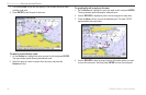
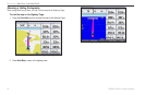
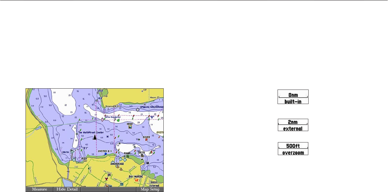
Map Page with BlueChart g2 Cartography
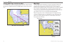
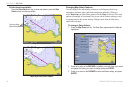
Map coverage conforms to the following conditions:
• Cartography appears when the selected zoom range is covered by either the
internal database, BlueChart, or BlueChart g2 data.
• When the selected zoom range is covered by both the internal database and
BlueChart or BlueChart g2 data, the cartography with the best resolution
appears.
• When the selected zoom range exceeds the resolution of the data in use,
overzoom cartography appears and an overzoom warning appears below
the range.
Using Built-In Basemap
Using BlueChart/BlueChart g2/MapSource Data
Overzoom, No Additional Data