


20
Reference
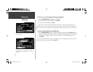
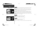
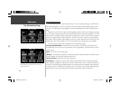
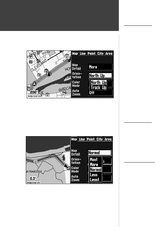
Map Page Options
Map Options
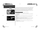
Map Detail— Adjusts the amount of map information, such as roads, that is displayed. ‘Most’ shows
maximum detail and ‘Least’ shows minimum detail. The higher level of detail, the slower the map
redrawing time.
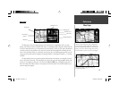
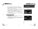
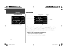
Orientation— Selecting ‘North Up’ will display the map with North at the top. Selecting ‘Track Up’
will automatically rotate the map to keep your current direction of travel at the top of the screen. A
‘North’ indicator is displayed on the map when in the ‘Track Up’ mode.
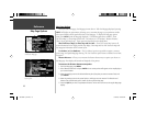
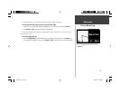
Color Mode— Select between Day, Night, or Automatic for best viewing conditions. ‘Day’ shows
mostly a yellow background, ‘Night’ shows a black background for less intensity in a dark environment,
for easier viewing while driving at night. ‘Automatic’ switches between day and night automatically.
AutoZoom— When ‘On’, this option will automatically adjust the map scale to show both your current
location and the next item you are navigating to.
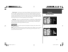
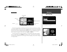
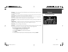
Line Options
Track Log— Controls the display of the Track Log on the map.
Railroad— Controls the display of railroads on the map.
Street Label— Controls the display of street names on the map.
Other Options
Point— Controls the display of points of interest on the map.
City— Controls the display of cities on the map.
Area— Controls the display of rivers, lakes, parks, and other areas (airports, shopping malls, hospitals,
etc.).
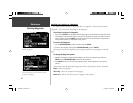
Selecting ‘North Up’ will display the map with North at
the top. Selecting ‘Track Up’ will automatically rotate the
map to keep your current direction of travel at the top
of the screen.
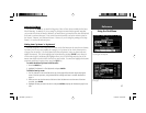
The ‘Normal’ setting for map detail is usually the best
setting for typical operation.
190-00256-10_0B.indd 20 1/13/2003, 10:33:48 AM