


20
Reference
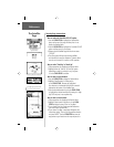
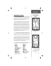
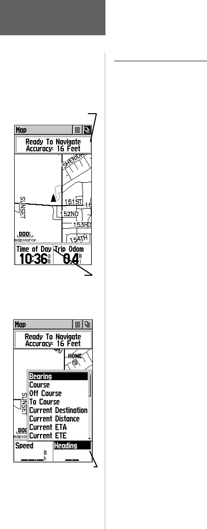
Data Fields - Overview
Two optional data fi elds support the Map Page and can
be programmed to display the following options:
Bearing - The direction from your current location to
a destination.
Course - The direction from your starting location to
a destination.
Off Course - The distance left or right you are from
the original course
(path of travel)
.
To Course - The compass direction you must go in
order to get back to the original course.
Current Destination -
The next waypoint on your route.
Current Distance - The remaining distance to
your next waypoint.
Current ETA - The estimated time of day you will
arrive at your next waypoint.
Current ETE - The estimated time needed to arrive at
the next waypoint on your route.
Elevation - The altitude above sea level.
Final Destination - The last waypoint on your route.
Final Distance - The remaining distance to your fi nal
destination.
Final ETA - The estimated time of day you will reach
your fi nal destination.
Final ETE - The estimated time needed to reach your
fi nal destination.
Heading - The direction in which you are moving.
Pointer -
Indicates the direction to the next destination.
Speed - Your rate of travel can be displayed in miles
per hour, kilometers per hour, or nautical miles per hour.
Sunrise - The time at which the sun rises on this day.
Sunset - The time at which the sun sets on this day.
Time of Day - The time for the selected time zone.
Trip Odometer - The accumulated distance traveled.
Turn - The angle difference (in degrees) between
the bearing to your destination and your current line
of travel. ‘L’ means turn Left. ‘R’ means turn Right.
Velocity Made Good - The speed at which you are
closing on a destination along a desired course.
Vertical Speed -
Your rate of altitude gain/loss over
time.
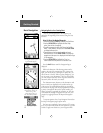
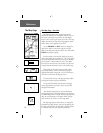
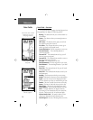
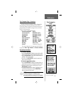
Data Fields
Status Field, shows satellite
tracking and accuracy.
(Non-programmable)
Programmable Data Field
with list of options.
Two programmable
data fi elds.