


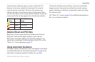
20 GPSMAP 400/500 Series Owner’s Manual
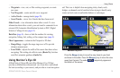
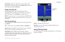
Using Charts
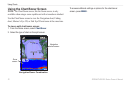
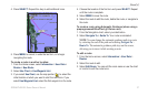
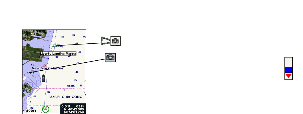
To access aerial photos from the Navigation chart:
Use the Rocker to highlight a camera icon with the pointer, and
select Aerial Photo or Review�
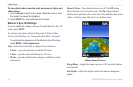
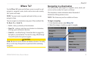
Perspective
Overhead
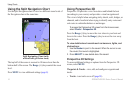
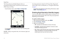
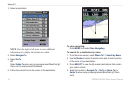
Animated Tide and Current Indicators
You can view indicators for animated tide station and current
direction on the Navigation chart or the Fishing chart. To do so,
information for tide station and current direction must be available
in your preloaded map or BlueChart g2 Vision region. You must also
select the Animated value for the Tides/Currents setting (page 11).
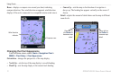
An indicator for a tide station appears on the chart
as a vertical bar graph with an arrow. A red arrow
pointing downward indicates a falling tide, and a blue
arrow pointing upward indicates a rising tide. When
you move the cursor over the tide station indicator,
the height of the tide at the station appears above the
station indicator.
Tide
Station
with Falling
Tide