


18 GPSMAP 400/500 Series Owner’s Manual
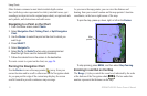
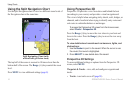
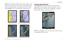
Using Charts
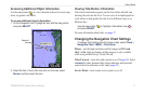
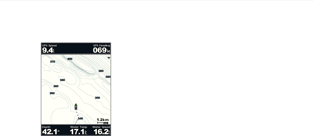
The Fishing chart uses detailed bathymetric data on a
preprogrammed BlueChart g2 Vision SD card, and is best for
offshore deep-sea shing.
From the Home screen, select Charts > Fishing Chart�
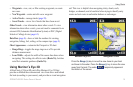
To access additional settings or options from the Fishing chart,
press MENU�
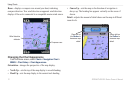
—displays navigational aids, such as beacons, lights, and
obstructions.
For settings and options related to Full Screen Map, Waypoints &
Tracks, Other Vessels, and Data Bars, see “Navigation Chart Menu”
on page 8.
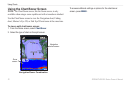
To customize the appearance of the Fishing Chart screen, select
MENU > Chart Setup (page 11)�
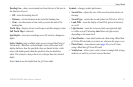
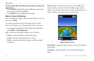
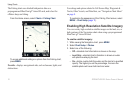
Enabling High Resolution Satellite Imagery
You can overlay high-resolution satellite images on the land, sea, or
both portions of the Navigation chart when using a preprogrammed
BlueChart g2 Vision SD card.
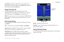
To enable satellite imagery:
1� While viewing the Navigation chart, press MENU�
2� Select Chart Setup > Photos�
3� Select one of the following:
• Off—standard chart information is shown on the map�
• Land Only—standard chart information is shown on water
with photos overlaying the land�
• On—photos overlay both the water and the land at a specied
opacity� The higher you set the percentage, the more the
satellite photos will cover both land and water�