


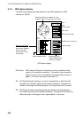
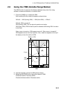
2. PLOTTER AND PILOT DISPLAY DESCRIPTION
2-10
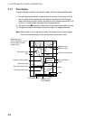
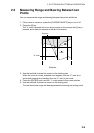
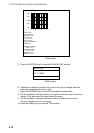
FISH
000001
43
20 21
22
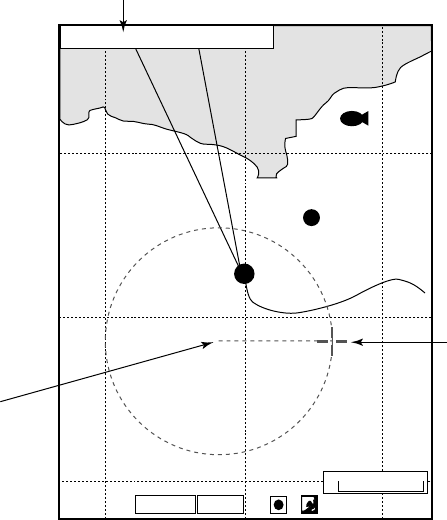
41
Starting point
(X mark)
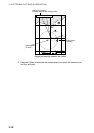
RULER 0.61nm 90.1 T
Range and bearing
between starting and ending points
X
Ending point
(Cursor)
0.3nm
GPS2D
GPS2D
WGS84
Range and bearing between two points
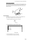
6. Press the [0] key to terminate the measurement and erase the dashed circle
and line, and data.