


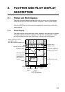
2-1
2. PLOTTER AND PILOT DISPLAY
DESCRIPTION
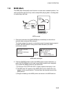
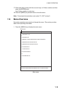
2.1 Plotter and Pilot Displays
The plotter and pilot displays can be shown with full-screen or in a half screen
combined with the nav information window, compass or echo sounder display.
Press the [DISP] key, and then press the appropriate numeric key to show the
display desired.
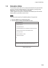
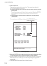
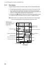
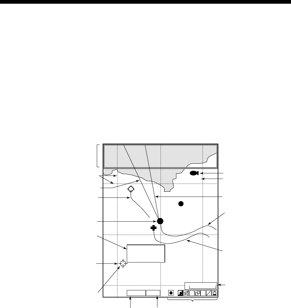
2.1.1 Plotter display
The plotter display shows chart data, tracks, waypoints and marks on the display.
The plotter display orientation is always north-up. North (zero degree) is at the
top of the display and own ship (filled circle) is at the center of the screen.
L
L
S A
V E
H
Icons
Scale
Own ship's track (sub)
Mark
Cursor
FISH
000001
43
20 21 22
42
41
Own ship's track (main)
Waypoint mark
Waypoint name
Course bar (light-blue)
Own ship's mark
Heading marker (white)
0.3nm
GPS2D
GPS/DGPS
status
37˚04.640'N
135˚21.047'E
+ 4.5˚C 13.7m
Mark information
(appears when
the cursor is on
a mark)
Other ship's track
Grid
When selecting PLOTTER
NAV INFO 1 (or 2),
NAV INFO window appears here.
WGS84
Geodetic
datum
PLOTTER display