


Page 77
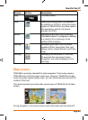
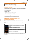
How Do I Use It?
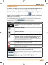
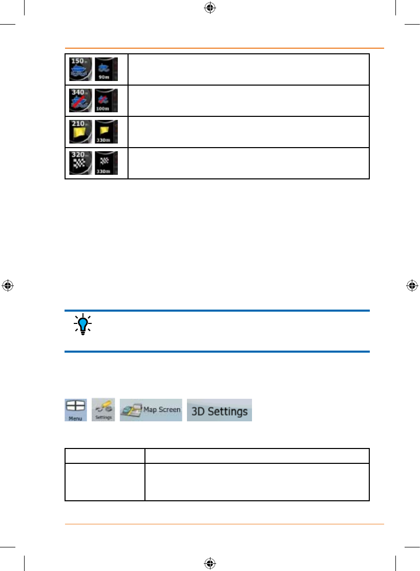
,
Board ferry.
,
Leave ferry.
,
Approaching the next via point.
,
Approaching the destination.
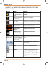
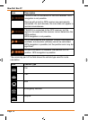
Incertainsituationswhenrouteeventsarenotimportant,theseeldsshow
other useful pieces of information. They are described here: page 16.
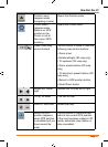
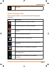
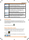
Objects on the map
Streets and roads
TRAX353 shows the streets in a way that is similar to how the paper road
maps show them. Their width and colours correspond to their importance:
you can easily tell a motorway from a small street.
If you prefer not to see street names during navigation,
turn them off (page 102).
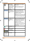
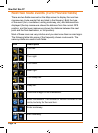
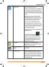
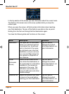
3D object types
To enable or disable 3D visualisation on the map, tap the following buttons:
, , , .
TRAX353 supports the following 3D object types:
Icon Description
Elevated roads Complex intersections and vertically isolated roads
(such as overpasses or underground tunnels) are
displayed in 3D.
TIP