


78 SporTrak Color GPS Mapping Receiver
Appendix
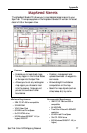
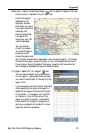
The MapSend series of CD-ROMs allows you to extend the capabilities of your
SporTrak GPS receiver and there isn’t room here to describe all that you can do.
Please refer to the help files in the MapSend for assistance on the features and
functions of the software. This brief introduction is provided only to
demonstrate the most commonly used function; uploading detailed maps.
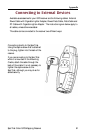
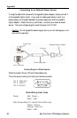
Preparation: Make sure that you have a SD card installed in your SporTrak.
(Detailed maps are saved to the SD card, not in the SporTrak.) Install
fresh batteries in your SporTrak and using the data cable, connect the
SporTrak to one of the COM ports on your PC.
Run the MapSend application from your PC.
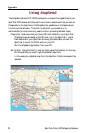
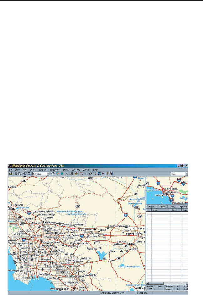
Set Up Map: Using the zoom in and out tools, select the location on the map
for the area that you want to get the detailed map from.
In this example, a detailed map from the Southern California area will be
selected.
Using MapSend