


42 SporTrak Color GPS Mapping Receiver
Reference
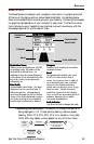
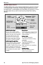
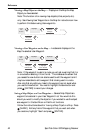
Viewing a Map Object on the Map — Displays on the Map the Map
Object you have selected.
Note: This function is for viewing map objects (cities, airports, etc.)
only. See Viewing User Waypoints on the Map for instructions on how
to perform this feature using User waypoints.
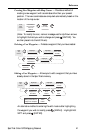
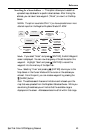
Viewing a User Waypoint on the Map — Locates and displays on the
Map the selected User Waypoint.
Note: If the waypoint is used in a route you will get a warning that it is
in a route after selecting it from the list. This is because the screen that
you access the view button can also be used to edit the waypoint and it
may be undesirable to edit a waypoint that is being used in a route.
Also note that any edits you make to the waypoint are not saved when
you use the View button. You need to highlight the Save button and
press [ENTER] to record your changes.
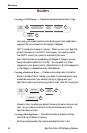
Saving a Map Object as a User Waypoint — Saves a Map Object as a
waypoint to be stored in your User Waypoint List. You would do this
should you want to modify the object or if you wanted to use the object
as a waypoint in the Sun/Moon or Fish/Hunt functions.
Follow the instructions above for Viewing a Map Object on a Map. Press
[MARK]. Edit any field of the waypoint that you want and when
you are done, highlight “Save” and press [ENTER].
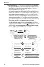
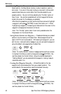
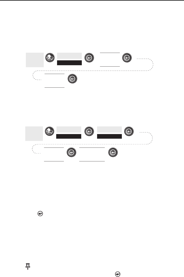
From
Any
Screen
Highlight
Database
Select
Waypoint
from the list
Select
Database
Category
From
Any
Screen
Highlight
Database
Select
Waypoint
from the list
Highlight
User
Use U/D arrows
to highlight
“View” button