


50 SporTrak Color GPS Mapping Receiver
Reference
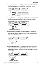
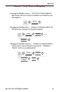
Selecting the Coordinate System — Allows you to set the coordinate
system that will be used to display the position for the primary or
secondary position screen. Available coordinate systems are: Lat/Lon,
UTM, OSGB, Irish, Swiss, Swedish, Finnish, German, French, USNG,
MGRS, or User Grid.
Default: Primary - Lat/Lon DEG.MIN.MMM
Secondary - UTM
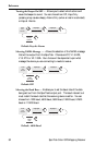
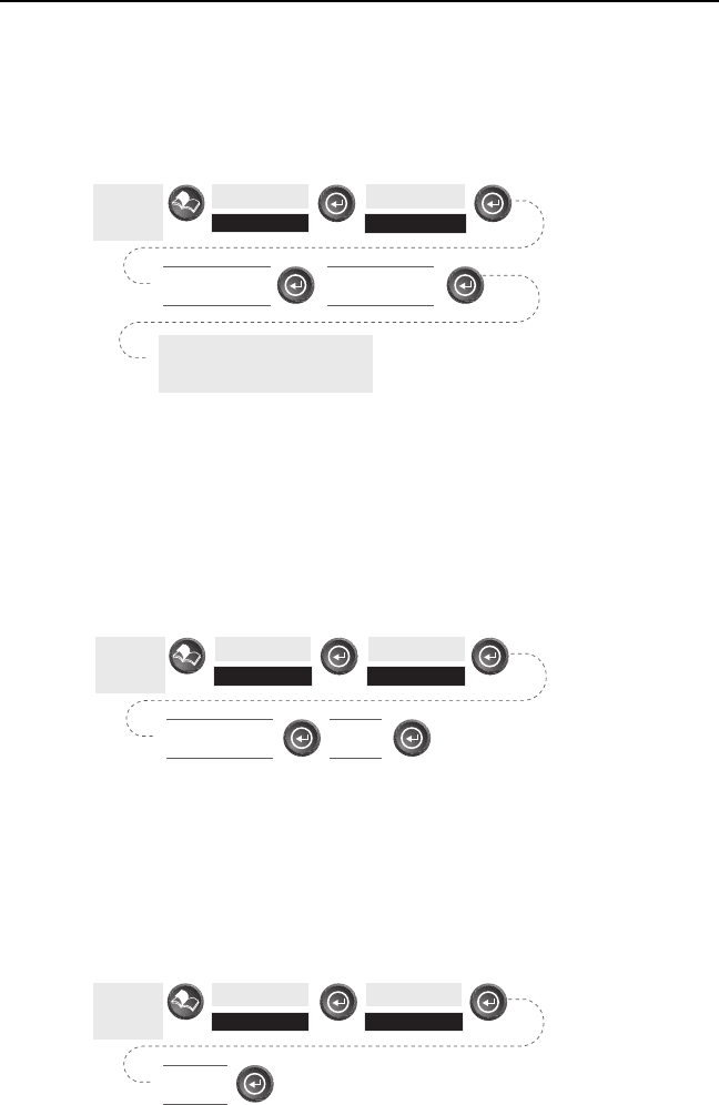
Selecting a Map Datum — Allows you to set the datum used to compute
the coordinates to match the datum used on a map or chart. If you are
using a map or chart with your SporTrak and the datums do not match,
you may find irregularities when comparing the coordinates.
Default: Primary - WGS84 Secondary - WGS84
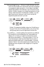
Selecting the Elevation Mode — Allows you to select the elevation mode
used by the SporTrak. You may choose between 3D (uses satellite
information to compute elevation) or 2D (displays a fixed elevation
based upon the elevation entered).
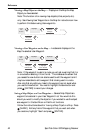
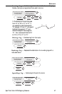
From
Any
Screen
Highlight
Setup
Highlight
Coord System
The coordinate system you select
may require additional
information.
Select Primary or
Secondary
Select Coordinate
System
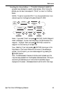
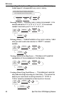
From
Any
Screen
Highlight
Setup
Highlight
Map Datum
Select Primary or
Secondary
Select
Datum
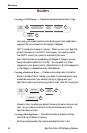
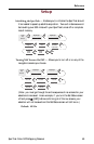
Default: 3D
From
Any
Screen
Highlight
Setup
Highlight
Elev Mode
Select
3D or 2D