


10 TRACKER950 CHARTPLOTTER Installation and Operation Manual
NAVMAN
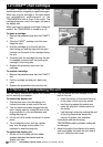
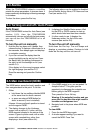
2-2 Chart displays
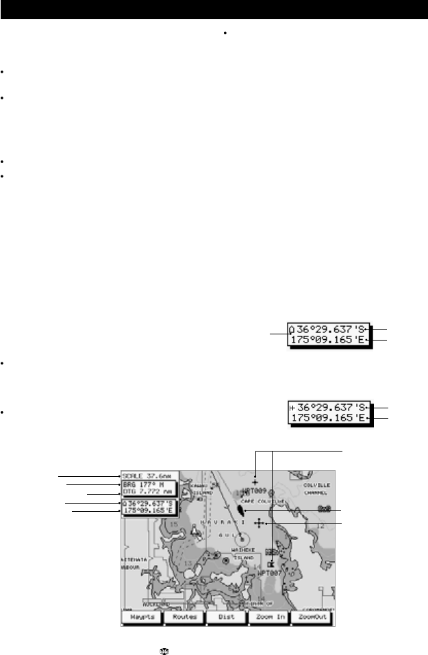
A typical TRACKER950 chart screen is shown
below.
Chart displays can show:
A part of the built-in worldwide chart. See
Chart scale below
Chart details from any C-MAP™ cartridge
fitted.
Land is brown, water is blue. You can control
the type of information displayed on the chart
(see section 9-4).
The current boat position if it is on the chart.
A cross-shaped symbol called the cursor.
Chart scale
Press the Zoom In key to display a smaller area of
the chart in more detail. Press the ZoomOut key
to display a bigger area in less detail.
The chart scale is displayed on some screens (e.g.
scale = 8 nm) is the vertical distance across the
currently visible chart area. For example if the scale
is 8 nm then a portion of chart eight nautical miles
high is currently displayed.
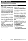
The cursor
The cursor is used to select points on the chart.
To move the cursor across the chart, press one of
the cursor keys:
Press the cursor key which points in the
direction that you want the cursor to move,
for example press CursorUp to move the
cursor up.
If you hold a cursor key down, the cursor
moves across the screen.
Boat position
The cursor
If you press the cursor key midway between
two of the marked keys, the cursor moves
diagonally.
When you move the cursor to the edge of the
screen the chart will scroll. For example, if you
move the cursor to the top of the screen then the
chart will scroll down and you will see a part of the
chart that was above the rest.
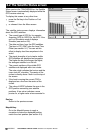
Chart symbols
The chart will show symbols, such as waypoints
and C-MAP™ symbols, as shown below. To select
a waypoint, move the cursor to the symbol. A white
circle appears around it to show that it is selected
and a window appears with information about the
symbol.
In the Underway screen, you can move the cursor
to C-MAP™ chart symbols to see a window with
information about the symbol.
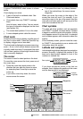
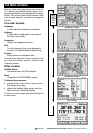
Latitude and Longitude
Latitude and longitude are displayed on navigation
screens. Normally it displays the position of the
boat and a boat symbol appears in front of the
numbers to indicate this:
If you have moved the cursor in the last ten
seconds, then it displays the position of the cursor
and the boat symbol is not displayed:
Scale
Bearing
Distance to go
Latitude
Longitude
Waypoints
Latitude
Longitude
Boat symbol
Latitude
Longitude