


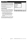
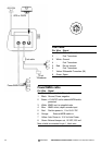

40 TRACKER950 CHARTPLOTTER Installation and Operation Manual
NAVMAN
Appendix C - Glossary
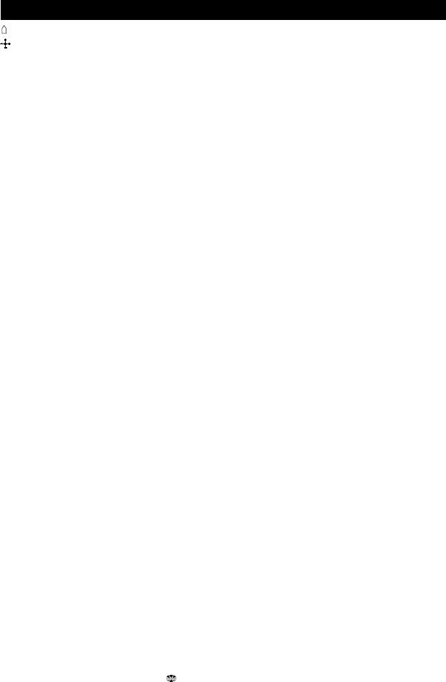
The symbol for the boat on the display.
The symbol for the cursor on the display.
Attention Area: An important area on a C-MAP™
chart, such as a restricted anchorage or a shallow
area (see section 9-4).
BRG - Bearing to destination. Bearing to the
destination from the boat.
CDI - Course Deviation Indicator. On the Highway
screen, a graphical indication of the distance from
the boat to the original plotted course (XTE) (see
section 5).
COG - Course Over Ground. Direction in which
the boat is moving over the ground.
C-MAP™: An electronic chart module (see section
1-2).
CTS - Course To Steer. Optimum course to steer
to return to the original plotted course.
Cursor: A cross-shaped symbol on the screen (see
section 2-2).
Depth Sounder: A device for measuring the depth
using ultrasonics.
DGPS - Differential Global Positioning System. A
satellite and land-based navigational tool (see
section 3).
Differential beacon: Part of the DGPS system
(see section 3).
DTG - Distance To Go. Distance from the boat to
the destination.
ETA - Expected Time of Arrival at the destination,
assuming that SOG and COG remain constant.
GoTo - A simple way of navigating straight to a
waypoint or to the cursor position (see section 4-
1).
GMT - see UTC.
GPS - Global Positioning System. A satellite-based
navigation tool (see section 3).
Legs are the straight segments of a route between
waypoints. A route consisting of four waypoints
will have three legs.
MOB function: Starts navigating back to the place
where someone fell overboard (see section 2-5).
NMEA - National Marine Electronics Association.
NMEA 0183: A standard for interfacing marine
electronic devices.
NVM - Non Volatile Memory. Stores the settings
and data in your TRACKER950. This data is stored
while the unit is turned off, so the data is retained
when you switch it on.
Route: Two or more waypoints linked in sequence
to form a path for the boat. The route has a start
and end waypoint and can be traversed from start
to finish or in reverse. There can be up to 25 routes,
each with up to 50 waypoints (see section 6-2).
SOG - Speed Over Ground. Current boat speed
over the ground. This is not necessarily the same
as the boat speed through the water nor the speed
at which it is approaching the destination.
STR - Steering. The difference between COG and
CTS.
TTG - Time To Go. The estimated time to reach
the destination.
UTC - Universal Time Coordinated or Coordinated
Universal Time. A standard world time, formerly
called Greenwich Mean Time (GMT).
Waypoint - A user-definable chart position.
Waypoints are displayed on the chart as one of 12
icons with the name below. There can be up to
500 waypoints (see section 6-1).
XTE - Cross Track Error. The distance from the
boat to the original plotted course.
VMG - Velocity Made Good. The speed at which
the boat is approaching the destination.