


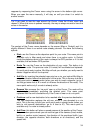
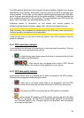
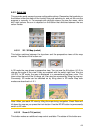
The GPS receives data from both the green and grey satellites. Signals from the grey
satellites are only received, while green ones are used by the GPS to calculate your
current location. On the right you can see the satellite signal strength bars. Dark bars
are for the grey and orange bars are for the green satellites. To identify satellites use
their numbers also shown in the virtual sky. The more satellites your GPS tracks (the
green ones), the better your calculated position will be.
Additional pieces of information on this screen are: current position in
latitude/longitude format, elevation, speed, date, time and calculated accuracy.
Note: Accuracy can be affected by several factors the GPS cannot take into account.
Use this accuracy information only as estimation.
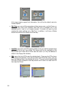
There are two icons on the left to show the status of the GPS connection and the
quality of reception.
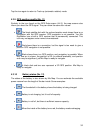
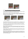
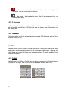
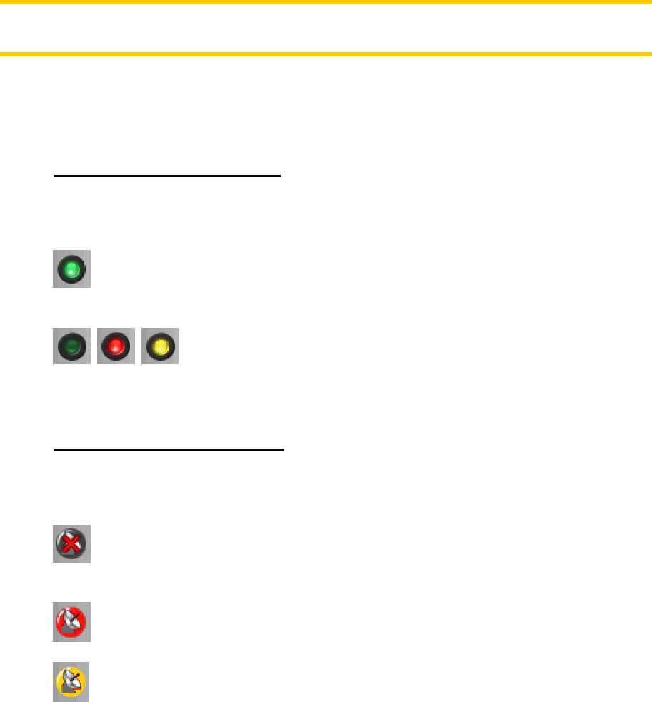
4.4.2 GPS connection indicator
In the middle to the left there is a lamp similar to the ones used for switches. This one
has more colours and represents more values:
• - a fast blinking green lamp means that there is communication with the
GPS and data is being received,
• - other colours may not appear with a built-in GPS. Should
any of these appear, this means a faulty operation of your device.
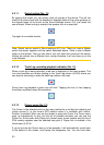
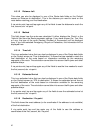
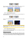
4.4.3 GPS data quality indicator
In the top left corner there is a satellite dish to show the quality of the GPS position.
Different colours represent different signal quality:
• - black with a red cross means there is no connection with the GPS
device, which should never be the case with a built-in GPS your device has.
• - red means the GPS is connected but no GPS position is available,
• - yellow means 2D reception. A GPS position has been aquired, Mio Map
is ready for navigation, but the GPS is using enough satellites for calculating
the horizontal position only. Elevation data is not provided, and the position
error may be significant.
38