99
Chart Menu Tab
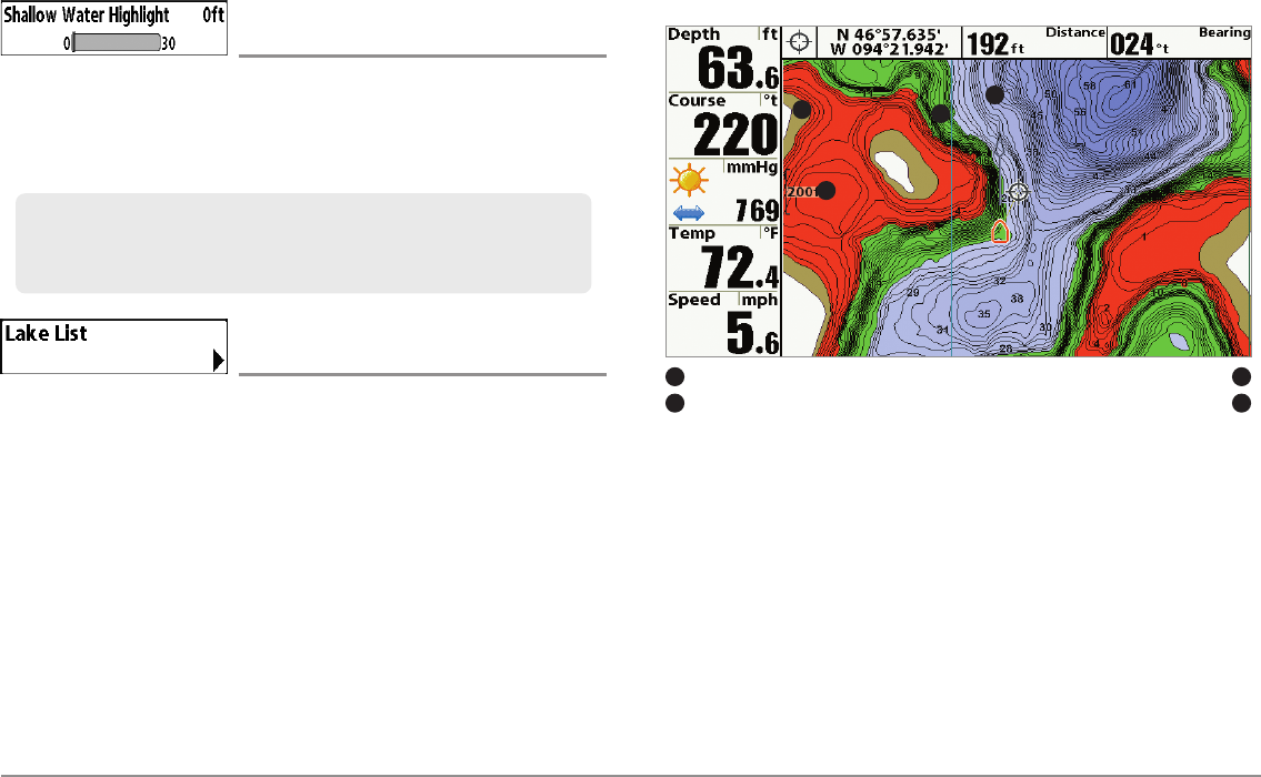
Shallow Water Highlight
(optional-purchase LakeMaster® charts only)
Settings: 0 - 30 feet, 0 - 5 fathoms, 0 - 10 meters
(International Models only); Default = 0
Shallow Water Highlight allows you to select a minimum shallow depth
setting so that the depth is highlighted in red in the Chart Views.
Lake List
(optional-purchase LakeMaster® charts only)
Settings: Press the RIGHT Cursor key to activate.
Lake List allows you to view the list of lakes included on the installed SD
card.
Sort By: Highlight Sort By, and use the RIGHT or LEFT Cursor keys to
select a sort option for the list.
Scroll: Use the UP or DOWN Cursor keys to scroll through the list. As
each lake is highlighted, you can view information about the lake in
the white box displayed on the screen.
Cursor To: Highlight a lake on the list and press the RIGHT Cursor key
to move the active cursor to the location you’ve chosen. You can then
mark waypoints, or press the GO TO key to start navigation toward a
waypoint, or press the INFO key for more information.
Chart View with LakeMaster®
WaterLevel Offset
1
Depth Highlight
2
Contour Lines
3
Shallow WaterHighlight
4
1
2
4
3
For example, if your boat has a draft of 3 feet, set the Shallow Water
Highlight featureto 3 feet, andthe unit willdraw a red band from 0 -3 feet.
Use this setting with Water Level Offset.


