


15
SECTION
1
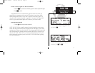
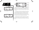
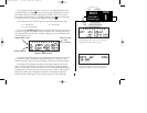
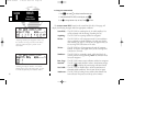
To select a map scale:
1. Press
a
to increase the map scale and show a larger area (or turn
K
to the right).
2. Press
b
to decrease the map scale and show a smaller area (or turn
K
to the left).
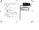
An autozoom feature is available which will automatically adjust from an en route
scale of 300 through each lower scale, stopping at a scale of 1 as you approach your
destination waypoint. The autozoom feature is turned on/off from the map setup page
described on page 97.
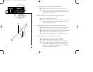
The orientation of the map may be fixed at ‘north up’ (nrthup), or set to ‘desired
track up’ (dtk up) or ‘track up’ (trk up). The ‘north up’ setting will keep the top of the
map display fixed on north. ‘Track up’ will cause the map to rotate so the top of the
map is the direction you are heading. ‘Desired track up’ keeps the map display fixed
along your desired course. Map orientation is changed on the map setup page
described on page 97.
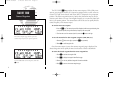
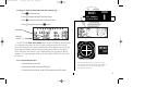
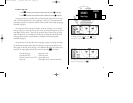
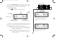
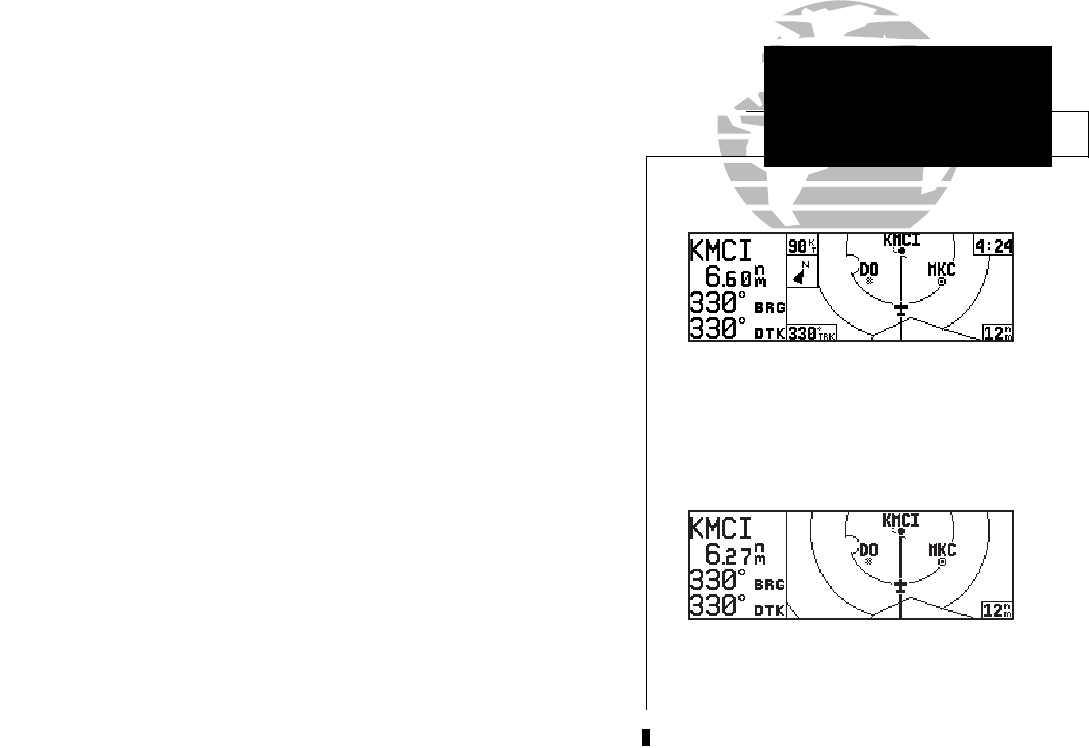
Navigation data is also provided on the map page to guide you during your flight.
The destination waypoint name, distance & bearing to waypoint, and desired track
(dtk) appear on the left side of the page. Four additional data fields are located at the
corners of the map display (and may be removed by pressing
\
), as follows:
Ground speed (gs) - upper left corner
Ground track (trk) - lower left corner
Estimated time en route (ETE) - upper right corner
Map scale - lower right corner (cannot be removed)
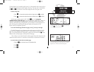
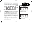
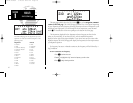
NAV KEY
Map Page
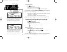
To change the map scale press the
a
key to
increase the scale or
b
to decrease the scale.
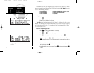
To remove the North indicator and/or data fields
from the map display, press \.
155xlb manual 1/12/99 4:05 PM Page 15