


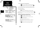
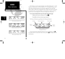

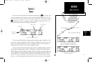
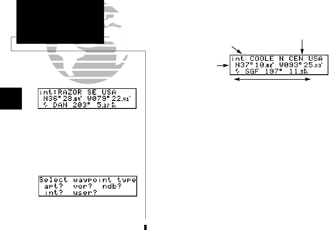
Intersection Information
When an intersection identifier is entered, the following information will be displayed:
Note: The VOR displayed is the calculated nearest VOR, not necessarily the VOR
used to define the intersection.
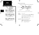
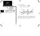
User Waypoint Information
User waypoints are created or modified using the
W
key. Selecting ‘usr’ as shown
on page 26 will allow you to enter the waypoint identifier and modify the user way-
point. Note that this can also be done ANY time you are entering an identifier. If the
identifier chosen is not contained in the database, the GPS 150 will assume you would
like to create a new waypoint. There are three ways to create a user waypoint’s position:
1. Enter the exact position of the new waypoint.
2. Reference a known waypoint (range and bearing from an airport, VOR, etc.)
3. Enter a range and bearing from your current position.
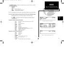
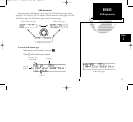
To create, edit or view a user waypoint:
1. Press
W
and rotate
O
until the Waypoint Menu is displayed.
2. Press
C
and rotate
O
until the ‘user?’ field is highlighted. Press
E.
3. Use
K
and
O
to enter the waypoint identifier. Press
E
.
34
REFERENCE
Intersections &
User Waypoints
Section
2
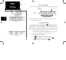
Waypoint type
and identifier
Nearest VOR facility,
bearing and distance
Region / Country
Location
(lat/lon)
Intersection page
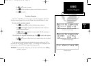
Waypoint Menu
150man rev E 7/24/98 3:10 PM Page 34