


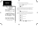
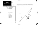
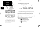
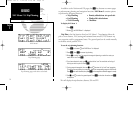
Position page with ESA displayed.
The Position page contains the following information:
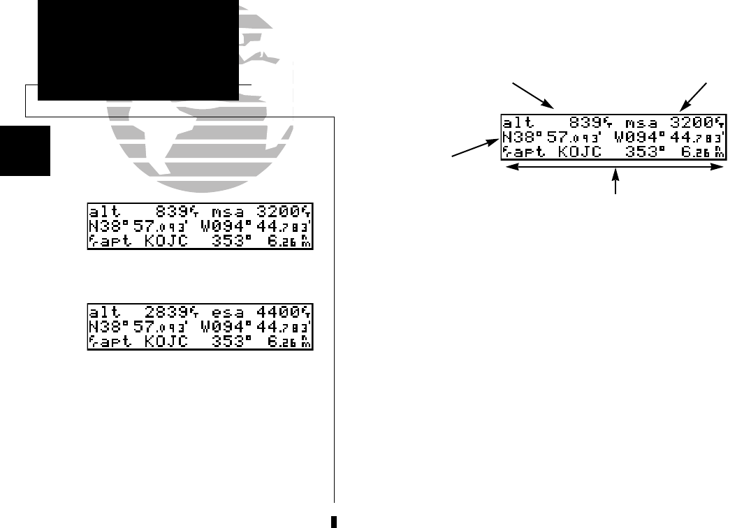
The MSA/ESA field can display either the minimum safe altitude (MSA) or the
enroute safe altitude (ESA). MSA is the recommended minimum altitude within a ten
mile radius of your present position. ESA is the recommended mimimum altitude
within a ten mile radius of your course on an active route or direct-to. This
information is determined using the database and generally includes mountains,
buildings and other permanent features.
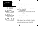
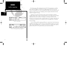
For example, if you are on a route from New York City to Los Angeles, the MSA at
KJFK would be 2700 ft. to account for objects in the area. However, the ESA would
be 16,700 feet to account for the course through the Rocky Mountains.
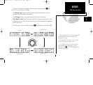
To change the ESA/MSA field on the Position page:
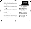
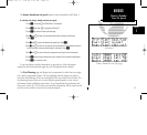
1. Press
C
, if necessary, to obtain a flashing cursor.
2. Rotate
O
until the ‘ESA/MSA’ field is highlighted.
3. Rotate
K
to display the desired data.
4. Press
C
to return to normal navigation.
10
REFERENCE
Position Page
Section
1
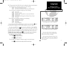
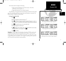
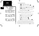
Altitude (above mean sea level)
MSA or ESA
Position (lat/lon)
Proximity Field
Position page with MSA displayed.
MSA and ESA are computed based on data stored
in the NavData card. This information cannot be
solely relied upon as an absolute measure of safe
altitude in your area, particularly if the data card is
out of date. Consult current charts and NOTAMS
for more complete information.
150man rev E 7/24/98 3:10 PM Page 10