


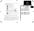
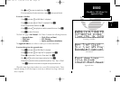
Section 2
Waypoint and Database Information
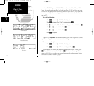
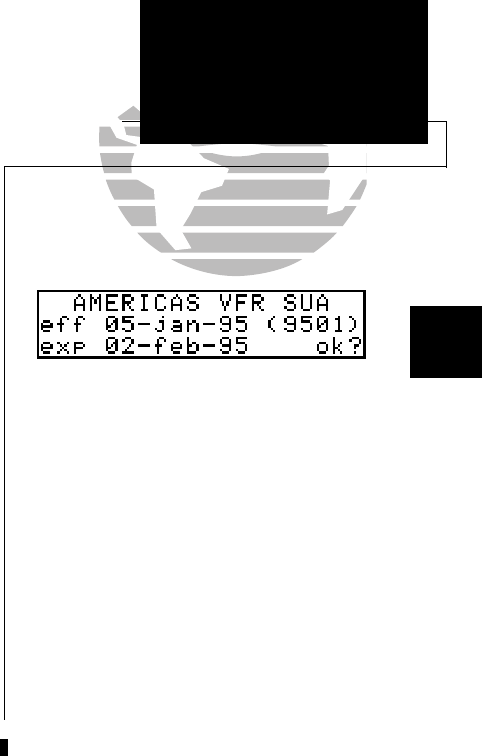
The database in your GPS 150 is contained on a NavData® card providing
information for either the Americas, International or Worldwide coverage. The Americas
database covers North, Central and South America. The International database covers
Europe, Asia and Africa. The Worldwide database contains both Americas and
International. The following information is contained on your NavData card:
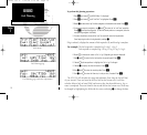
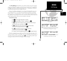
• Airports - Identifier, city/state, country, facility name, position (lat/lon),
elevation, fuel services, control and approach information,
runways and communications frequencies.
• Runways - Runway designation, length, surface, lighting, ILS/localizer
identifier and frequency and pilot controlled lighting frequency.
• Communication - Approach, arrival, control area, departure, class B,
Frequencies TMA, class C, and TRSA with sector, altitude and
text usage. In addition: ATIS, clearance delivery,
tower, ground, unicom, pre-taxi and other
frequencies are also included.
• VORs - Identifier, city/state, country, facility name, position (lat/lon),
frequency, magnetic variation, co-located DME or TACAN and
weather broadcast indication.
• NDBs - Identifier, city/state, country, facility name, position (lat/lon),
frequency and weather broadcast indication.
23
REFERENCE
Database Information
Section
2
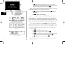
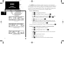
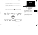
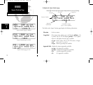
Database page
Please note that your GPS 150 uses ICAO identifiers
for all airport names. All U.S. airport identifiers which
contain only letters use the prefix ‘K’. For example, Los
Angeles International is KLAX under the ICAO standard.
Other airports, such as Otten Memorial (3VS), that con-
tain numbers in the identifier, do not require the ‘K’ pre-
fix. Many foreign countries use 2 letter prefixes. For more
information on ICAO identifiers, contact:
Document Sales Unit
International Civil Aviation Organization
1000 Sherbrooke, Suite 400
Montreal, Quebec
Canada H3A 2R2
Phone: (514) 285-8022
FAX: (514) 288-4772
150man rev E 7/24/98 3:10 PM Page 23