


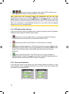
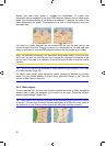
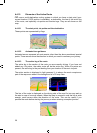
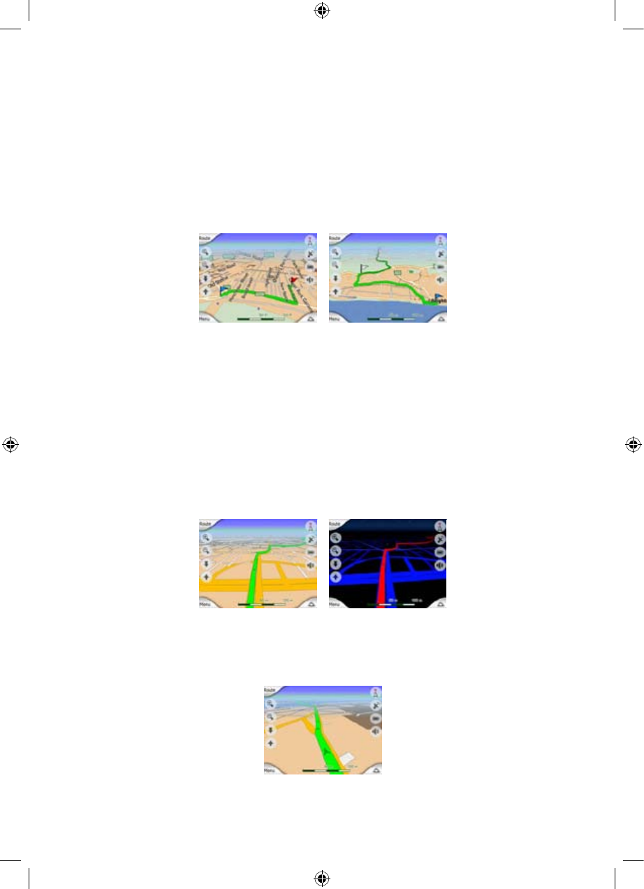
4.4.10 Elements of the Active Route
iGO uses a multi-destination routing system in which you have a start point (your
current location if GPS position is available), a destination, the line of the active leg
of the route, and optionally via points and inactive legs. They are all shown on the
map.
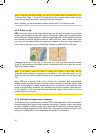
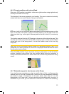
4.4.10.1 The start point, via points and the destination
These points are represented by flags.
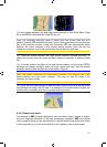
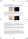
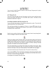
4.4.10.2 Animated turn guidance
Animated arrows represent all route events other than the above-mentioned special
points. These arrows show the direction in which you need to continue your journey.
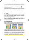
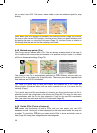
4.4.10.3 The active leg of the route
The active leg is the section of the route you are currently driving. If you have not
added any Via points, the whole route will be the active leg. When Via points are
present, the active leg is the part leading from your location to the next via point.
The active section is displayed in light greenred. It is always the most conspicuous
part of the map even when in the background of a 3D map view.
The line of the route is displayed on the driving side of the road for two-way and on
the axis in case of one-way streets. When the map is zoomed in and the line is wide
enough, small arrows show the direction of the route. This can be useful if you
preview the route before starting the journey or when entering a complex junction.
26
GNS