


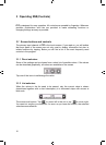
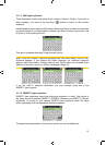
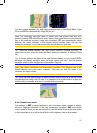
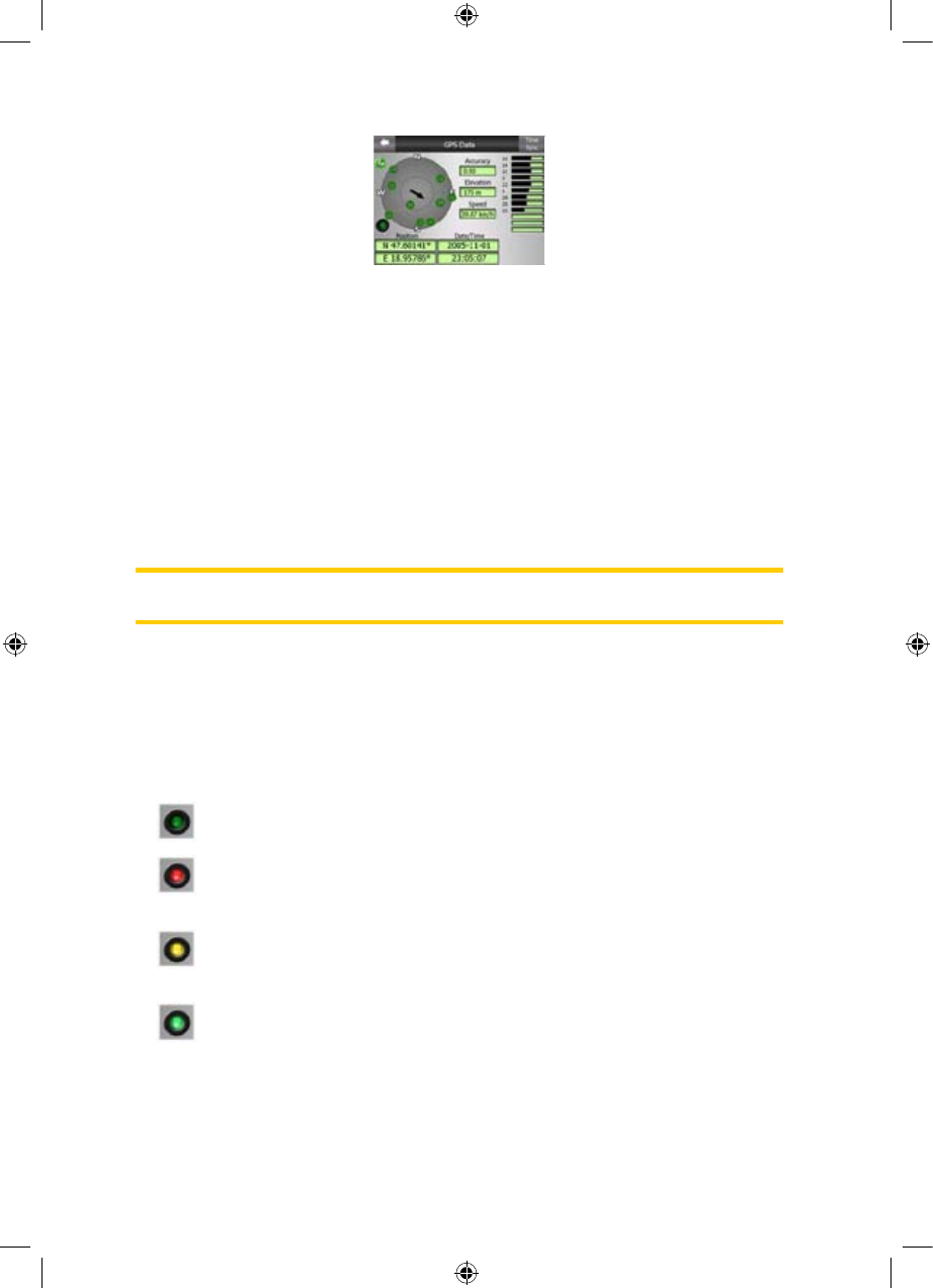
4.3.1 GPS data displayed
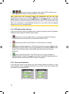
The virtual sky on the left represents the currently visible part of the sky above you,
with your position as the centre. The satellites are shown at their current positions.
The GPS receives data from both the green and grey satellites. Signals from the
grey satellites are only received, while green ones are used by the GPS to calculate
your current location. On the right you can see the satellite signal strength bars. Dark
bars are for the grey and orange bars are for the green satellites. To identify
satellites use their numbers also shown in the virtual sky. The more satellites your
GPS tracks (the green ones), the better your calculated position will be.
Additional pieces of information on this screen are: current position in
latitude/longitude format, elevation, speed, date, time and calculated accuracy.
Note: Accuracy can be affected by several factors the GPS cannot take into account.
Use this accuracy information only as estimation.
There are two icons on the left to show the status of the GPS connection and the
quality of reception.
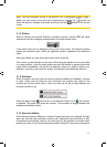
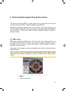
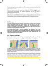
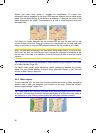
4.3.2 GPS connection indicator
In the middle to the left there is a lamp similar to the ones used for switches. This
one has more colours and represents more values:
x
dark lamp means there is no communication on the selected port,
x red lamp means connection to any GPS receiver has not been established
yet, so you need to set it up by using the Detect or Config. buttons,
x a slowly blinking yellow lamp means that there is no connection to the GPS
receiver, but iGO is trying to connect,
x a fast blinking green lamp means that there is communication with the GPS
and data is being received,
17
GNS