


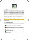
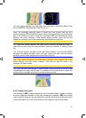
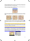
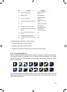
POIs are represented by icons on the map. For a built-in POI it is the icon of the
subcategory of the actual POI. For points you create, it is the icon you had chosen
when you created the POI (it can be changed later).
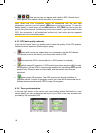
These icons are large enough to recognise the symbol, and semi-transparent so as
not to cover the streets and junctions behind them.
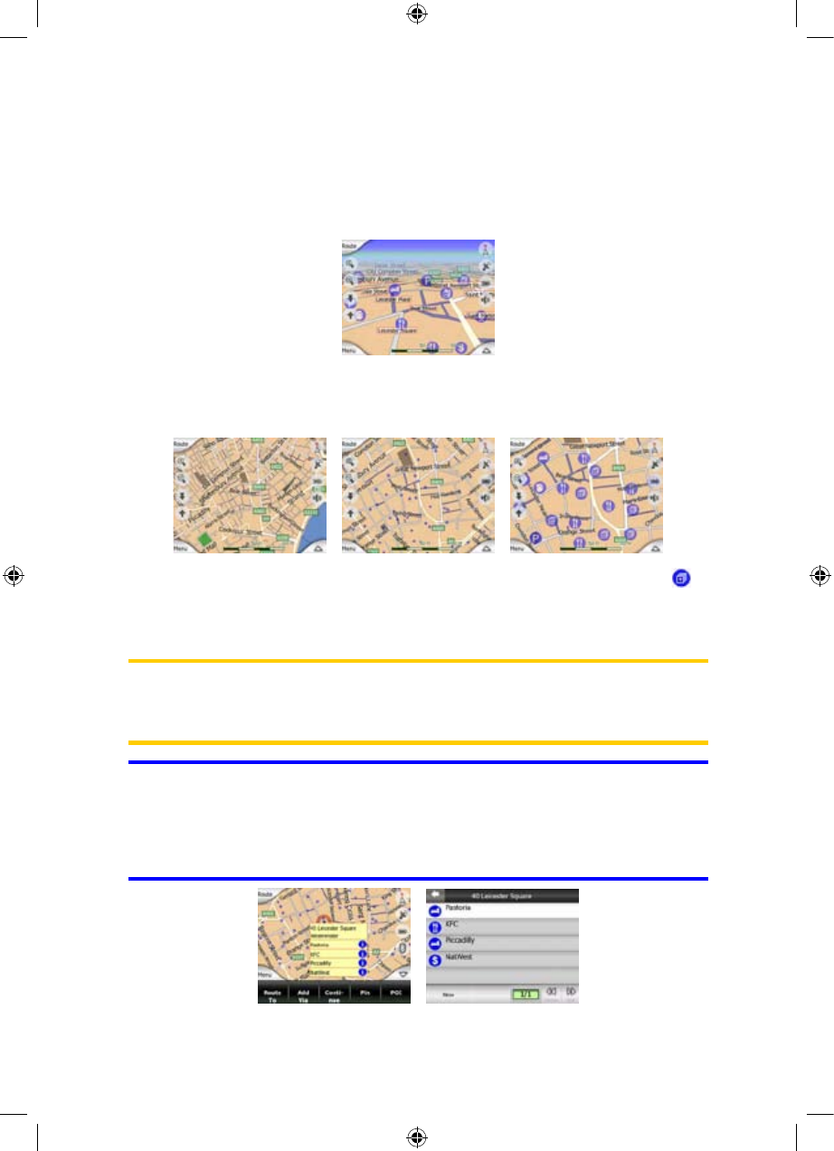
When the map is zoomed out, the icons are not shown. As you zoom in, small dots
appear at the locations of visible POIs. Zooming in further makes the full icons
appear.
If two points are too close to each other so that icons overlap, a multi-POI icon is
shown instead of individual ones. Zoom in more to see them separately. (Should the
two POIs have the same icon, this icon will be displayed instead of the multi-POI
icon.)
Note: When navigating, POI icons can be disabled together with street names (Page
58). If you still need this information during your journey, just drag the map to disable
Lock-to-Position (Page 30). This will restore street names and POI icons immediately.
Now tap Lock to reactivate Lock-to-Position.
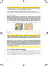
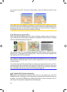
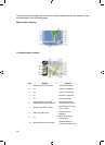
Tip: Tap the map on or near a POI item to see the list of the names of the nearest
POIs in a popup list, if it is enabled (Page ). To see the details of a particular POI
in the list, tap the blue ’i’ icon on the right. If you have too may POIs nearby, this list
may not be complete. In the Cursor menu (Page
46
34) there is a button called POI that
leads you to the screen of all nearby POI items. There you can open them one by
one to see their details, and select any of them as a route point.
25