


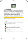
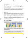
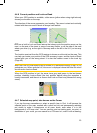
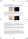
Streets and roads have names or numbers for identification. Of course, this
information can be displayed on the map. iGO uses two different ways to show street
labels. The conventional way is the same as a roadmap – it displays the name of the
street aligned with the street. The alternative is a kind of virtual signpost stuck into
the street itself.
You need not choose between the two modes. iGO will use the one best for the
current tilt and zoom level. Zoom in to have only a few streets on the map, and start
tilting up and down to see how iGO switches between the two modes in an instant.
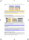
Note: The automatic switching is on even when using Smart Zoom. At first you may
find it odd, but later you will discover how it adjusts the displayed information to the
current view of the map. It is important, as the driver must be able to read the map at
a glance.
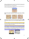
Tip: If you do not want to be bothered by street names during navigation, turn them
off in Map Options (Page ).58
Tip: Major roads usually have alternative names (numbering) besides the primary
name. You can choose whether to display these alternative names or not. You can
set this in Map Options (Page ).58
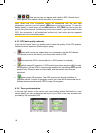
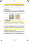
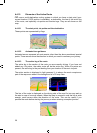
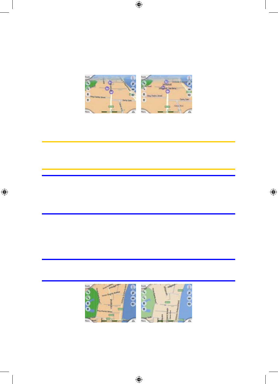
4.4.5 Other objects
To help orientate you, the map also contains objects that have no other navigating
function than to help you recognise your location on the map. These are surface-
waters, large buildings, forests, etc.
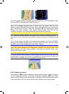
Tip: These objects are normally displayed using textured polygons that look natural
to the eye. You may wish to switch the textured display off (Page ) to free some of
the resources of your
59
PNA by replacing textures with plain coloured surfaces.
22
GNS
GNS
GNS