


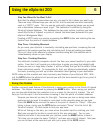

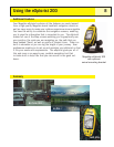
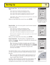
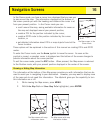
The Satellite Status screen will continuously update and you will be
able to graphically see how well your eXplorist is performing.
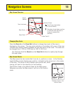
When the eXplorist has enough information to compute a position fix,
the
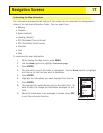
Satellite Status screen is replaced with the Map screen. The
arrow cursor in the center of the Map screen represents your
position. As you move, the arrow will point in the direction you are
traveling.
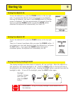
Tip: Use the ZOOM IN and ZOOM OUT buttons to change the
map scale to better see your present position.
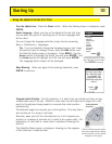
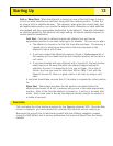
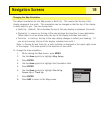
If the eXplorist is unable to compute your initial fix in a few minutes: If the eXplorist
determines that it is unable to track the satellites within a two minutes, it will present
you with the following screens in an effort to better determine its
approximate location.
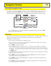
Select Region. Use the arrow joystick to highlight the region that
you are located in. With the region highlighted, press the ENTER
button.
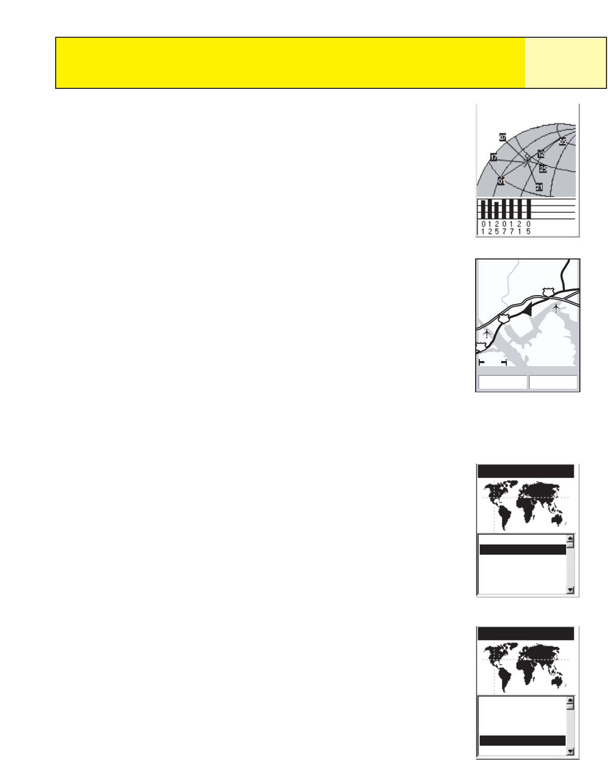
Select Area. This displays a list of areas for the region you
selected. Use the arrow joystick to highlight the area that applies
to you and press the
ENTER button.
Region
Enter Coord
USA
Americas
Europe
Asia East
Asia West
Starting Up
11
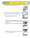
3D Position Fix
Tracking 7....
3.50mi
Heading Speed
48.0
M
H
060 M
641
Cumberland River
River
62
62
Area
Alabama
Alaska
Arizona
Arkansas
California
Colorado