


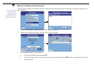
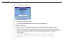
78
NAVMAN iCN 620 user manual
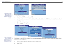
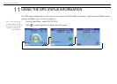
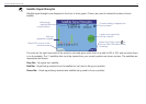
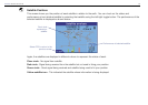
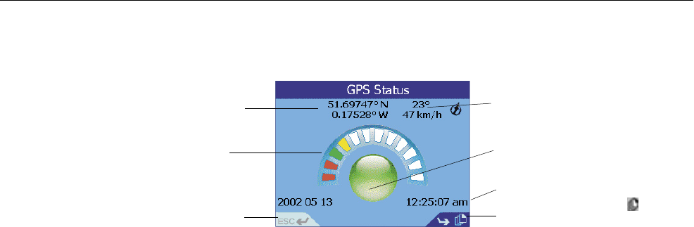
GPS Reception
The ICN 620 relies on the reception of signals transmitted by the Global Positioning System satellites orbiting the earth.
This display shows a visual representation of how many satellites the iCN 620 unit is receiving information from.
Latitude and longitude are displayed along with a North-pointing compass, the heading in degrees and ground speed.
You can view the Latitude/Longitude values either in degrees, minutes and seconds, or in decimal. Refer to Section 12
Modifying the Settings GPS Settings for more information.
The 12 satellites that could be viewed from your current position are shown as segments.
The satellites are represented as follows:
A yellow segment indicates a satellite that is being tracked but is not being used to determine your position.
A red segment indicates a satellite that is being used to determine a two dimensional (2D) x.
A green segment indicates a satellite that is used to determine your position.
The circle underneath the segment display is green when there is a valid x (2D or 3D), and red when there is no x
available. While a 2D x is suf cient to maintain a valid x, a 3D x is more accurate.
Latitude and longitude of
current position.
Each segment represents a
satellite
Select ESC or press ESC
to return to the previous
screen
Current heading
in degrees and
ground speed
A green circle means
the unit has a valid x
Local time
Select Page Fwd or press
to view the next GPS status
screen of settings.
ý