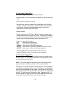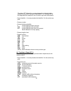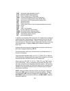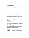
8.3 The Airport 2 Page (APT 2)
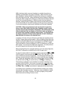
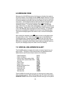
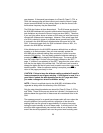
The Airport 2 page contains the following information:
• Airport identifier. An arrow precedes the identifier if it is the active way-
point.
• The city where the airport is located.
• The state if the airport is located in the United States, the Province if
located in Canada, or the country if located outside the United States
and Canada. A listing of the abbreviations used is contained in
Appendix D of the KLN 90B Pilot’s Guide.
• Airport elevation
• Time in relationship to UTC (Zulu). Z-5, for example, indicates local
standard time is five hours behind UTC time. If the airport is located in
an area which observes daylight savings time the information in paren-
theses shows the daylight savings time in relationship to UTC.
• Instrument approach information
ILS - airport has an ILS approach
MLS - airport has an MLS approach
ILS/MLS - airport has an ILS and MLS approach
NP APR - airport has a nonprecision approach and no ILS or MLS.
NO APR - airport does not have an instrument approach
• The symbol (R) indicates that the airport is serviced by an
Approach/Departure control facility having radar capability.
8.4 The Airport 3 Page (APT 3)
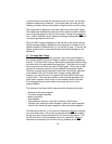
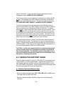
The function of the APT 3 page is to display runway information for the
selected airport. For many airports the first APT 3 page depicts a North
up runway diagram for the airport.
NOTE: This runway diagram is present only for those airports where
Jeppesen’s data contains the position of the runway thresholds.
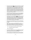
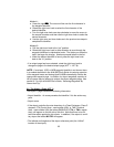
The primary APT 3 page follows the runway diagram. Runway designa-
tion, lighting, and types of surface for up to five runways are displayed in
order of length, beginning with the longest. Since there are many times
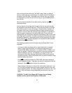
when all of an airport’s runway information does not fit on one page, addi-
tional APT 3 pages are used to display the data. Remember that a “+”
inserted between the page type and the number (APT+3 in this case) is
used to indicate that there is more than one Airport 3 page.
26


