64 GPSMAP 76CSx Owner’s Manual
MAIN MENU > HIGHWAY PAGE
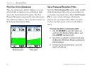
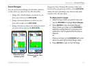
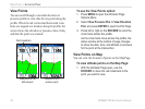
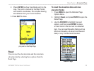
Track Page Options
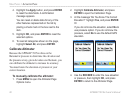
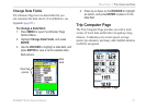
The Track Log Setup Page contains the following
options:
Wrap When Full
—select this option to record over
the oldest data with new data when the track log is
full.
Record Method—select the method to use to record
track points. Distance records track points after a
specific distance is traveled. Time creates track points
after the specified time has elapsed. Auto allows you
to choose from five different intervals.
Interval—records a track according to the value in
the interval field. The Interval field only appears
when the Record Method is set to Distance or Time.
Color—select a color for the track when it appears on
the map.
Route Page
Use the Routes page to create a sequence of
intermediate waypoints that lead you to your final
destination.. For more information, see Creating and
Using Routes beginning on page 31.
Highway Page
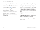
When navigating a route, the Highway Page guides
you to the destination using data fields and a graphic
highway. Up to four user selectable data fields show
information such as speed, distance, or time to next
point on the route. The list of data to display and the
method of selection is the same as for the Compass
Page and is explained in detail on page 54.
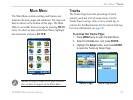
The Highway graphic provides visual guidance,
taking you point by point to your final destination.
Your course is represented by a center line down the
middle of the graphic. As you move toward each point
on your route, the graphic show the direction you
should move to stay on course to the point. Five scale
settings allow you to Zoom In or Out on the highway.


